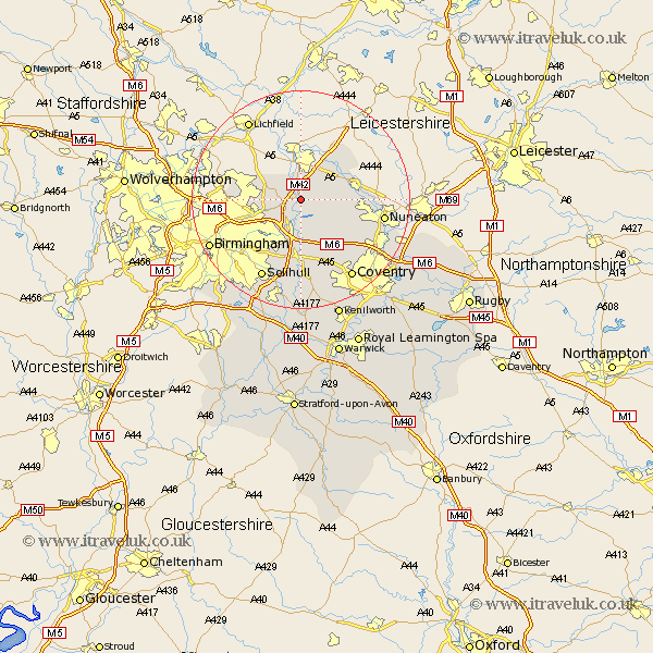
Warwickshire Map Showing Location of Kingsbury
Population: 4110
Area Size (ha): 80
District: North Warwickshire
Easting: 421470 Northing: 294770
Latitude: 52.55 Longitude: -1.68
 = Kingsbury
Area Size (ha): 80
District: North Warwickshire
Easting: 421470 Northing: 294770
Latitude: 52.55 Longitude: -1.68
= Kingsbury
This Kingsbury map below is supplied by Google. Use the tools in the top left corner to zoom into street level or zoom out for a road map, you may also need to zoom in to see Kingsbury on the map. Click and drag the map to move around. If the map fails to load try and refresh your browser or zoom in or out (+ or -).
Update - it seems Google no longer allow people to use their maps for free! This Kingsbury map sometimes loads and sometimes gives a error. I am working on a solution.
Closest 30 Towns or Cities to Kingsbury (Population over 500)
Nether Whitacre 2.92km Hurley 3.38km Middleton 5.01km Coleshill 5.67km Water Orton 6.51km Shustoke 6.51km Dordon 7.6km Polesworth 7.91km Arley 8.76km Castle Bromwich 8.76km Atherstone 9.2km Sutton Coldfield 9.2km Grendon 9.65km Shuttington 10.3km Bickenhill 11.35km Mancetter 11.42km Fillongley 11.47km Orton-on-the-Hill 12.56km Orton 12.56km Orton on the Hill 12.56km Newton Regis 13.01km Newton 13.01km Austrey 13.63km Meriden 13.74km Corley 14.32km Hampton in Arden 14.86km Nuneaton 15.11km Solihull 16.3km Keresley 16.48km Berkswell 17.02km