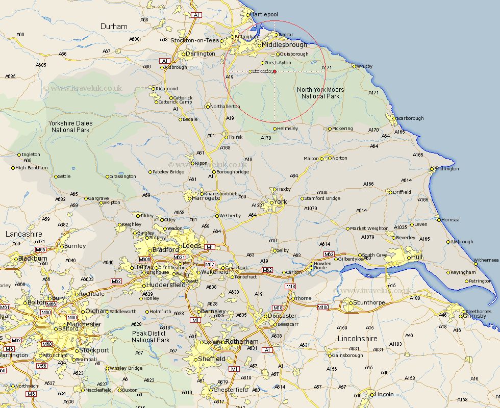
Yorkshire Map Showing Location of Kildale
Population: 139
District: Hambleton
Easting: 460486 Northing: 508341
Latitude: 54.47 Longitude: -1.07
 = Kildale
District: Hambleton
Easting: 460486 Northing: 508341
Latitude: 54.47 Longitude: -1.07
= Kildale
This Kildale map below is supplied by Google. Use the tools in the top left corner to zoom into street level or zoom out for a road map, you may also need to zoom in to see Kildale on the map. Click and drag the map to move around. If the map fails to load try and refresh your browser or zoom in or out (+ or -).
Update - it seems Google no longer allow people to use their maps for free! This Kildale map sometimes loads and sometimes gives a error. I am working on a solution.
Closest 30 Towns or Cities to Kildale (Population over 500)
Ingleby 4.29km Great Ayton 5.68km Great Broughton 6.73km Guisborough 7.48km Stokesley 8.62km Eston 9.51km Seamer 9.69km Skelton 10.71km Skelton-in-Cleveland 10.71km Middlebrough 12.35km Middlesborough 12.35km Middlesbrough 12.35km South Bank in Normanby 12.35km South Bank-on-Tees 12.35km South Bank on Tees 12.35km South Bank 12.35km Middleton 12.92km Middleton upon Leven 12.92km Whorlton 13.09km Grangetown 14.04km Saltburn by the Sea 14.04km Saltburn 14.04km Saltburn-by-the-Sea 14.04km Brotton 14.06km Marske-by-the-Sea 14.38km Marske 14.38km Marske by the Sea 14.38km Loftus 15.03km Redcar 15.66km Osmotherley 18.75km