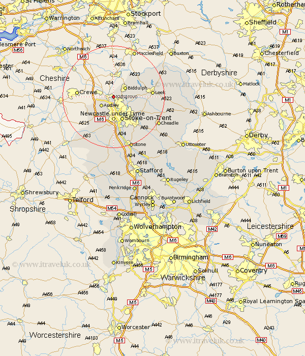
Staffordshire Map Showing Location of Kidsgrove
Population: 27282
Area Size (ha): 685
District: Newcastle-under-Lyme
Easting: 384372 Northing: 354067
Latitude: 53.08 Longitude: -2.23
 = Kidsgrove
Area Size (ha): 685
District: Newcastle-under-Lyme
Easting: 384372 Northing: 354067
Latitude: 53.08 Longitude: -2.23
= Kidsgrove
This Kidsgrove map below is supplied by Google. Use the tools in the top left corner to zoom into street level or zoom out for a road map, you may also need to zoom in to see Kidsgrove on the map. Click and drag the map to move around. If the map fails to load try and refresh your browser or zoom in or out (+ or -).
Update - it seems Google no longer allow people to use their maps for free! This Kidsgrove map sometimes loads and sometimes gives a error. I am working on a solution.
Closest 30 Towns or Cities to Kidsgrove (Population over 500)
Audley 5.79km Biddulph 5.8km Endon 7.79km Silverdale 8.12km Newcastle under Lyme 9.26km Newcastle-under-Lyme 9.26km Stoke upon Trent 9.85km Stoke 9.85km Stoke-upon-Trent 9.85km Stoke on Trent 9.85km Stoke-on-Trent 9.85km Keele 9.85km Betley 10.5km Horton 10.68km Madeley 11.42km Whitmore 13.39km Cheddleton 13.87km Leek 14.59km Barlaston 15.48km Caverswall 15.74km Kingsley 18.28km Fulford 18.55km Swinnerton 18.56km Swynnerton 18.56km Draycott 18.63km Draycott in the Moors 18.63km Ipstones 18.67km Standon 18.82km Cheadle 20.08km Hilderstone 21.07km