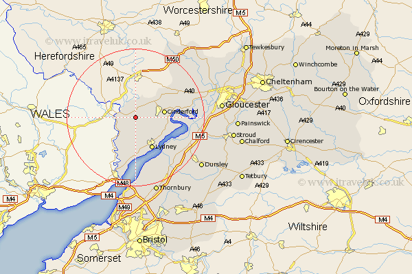
Gloucestershire Map Showing Location of Coleford
Population: 9407
Area Size (ha): 309
District: Forest of Dean
Easting: 358630 Northing: 211481
Latitude: 51.8 Longitude: -2.6
 = Coleford
Area Size (ha): 309
District: Forest of Dean
Easting: 358630 Northing: 211481
Latitude: 51.8 Longitude: -2.6
= Coleford
This Coleford map below is supplied by Google. Use the tools in the top left corner to zoom into street level or zoom out for a road map, you may also need to zoom in to see Coleford on the map. Click and drag the map to move around. If the map fails to load try and refresh your browser or zoom in or out (+ or -).
Update - it seems Google no longer allow people to use their maps for free! This Coleford map sometimes loads and sometimes gives a error. I am working on a solution.
Closest 30 Towns or Cities to Coleford (Population over 500)
Staunton 3.91km Newland 3.91km Lydbrook 5.68km Bream 6.01km Cinderford 8.23km Drybrook 8.84km Saint Briavels 9.38km St. Briavels 9.38km St Briavels 9.38km Lydney 10.34km Milcheldean 10.92km Mitcheldean 10.92km Woolaston 11.12km Newnham 11.46km Newham 11.46km Awre 12.05km Longhope 12.7km Huntley 15.62km Frampton-on-Severn 16.47km Frampton on Severn 16.47km Frampton 16.47km Berkeley 16.58km Tidenham 17.03km Slimbridge 17.55km Stone 19.04km Newent 20.21km Tibberton 20.46km Cam 20.49km Coaley 20.56km Hardwicke 20.71km