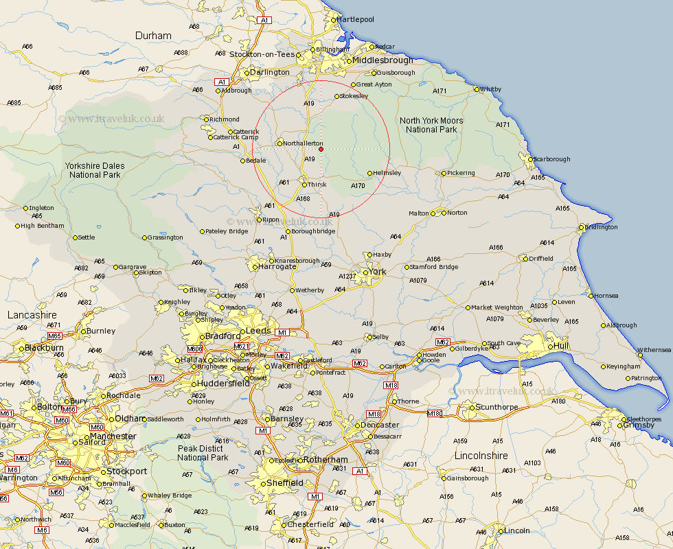
Yorkshire Map Showing Location of Kepwick
Population: 82
District: Hambleton
Easting: 447698 Northing: 491499
Latitude: 54.32 Longitude: -1.27
 = Kepwick
District: Hambleton
Easting: 447698 Northing: 491499
Latitude: 54.32 Longitude: -1.27
= Kepwick
This Kepwick map below is supplied by Google. Use the tools in the top left corner to zoom into street level or zoom out for a road map, you may also need to zoom in to see Kepwick on the map. Click and drag the map to move around. If the map fails to load try and refresh your browser or zoom in or out (+ or -).
Update - it seems Google no longer allow people to use their maps for free! This Kepwick map sometimes loads and sometimes gives a error. I am working on a solution.
Closest 30 Towns or Cities to Kepwick (Population over 500)
Osmotherley 5.97km Brompton 10.41km Northallerton 10.96km Whorlton 11.17km Thirsk 11.93km Helmsley 14.95km Great Broughton 16.18km Ampleforth 16.23km Topcliffe 16.66km Middleton 16.68km Middleton upon Leven 16.68km Ingleby 16.87km Seamer 16.99km Stokesley 17.23km Raskelf 20.42km East Cowton 20.54km Cowton 20.54km North Cowton 20.56km Nawton 20.6km Bedale 20.88km Dishforth 20.94km Great Ayton 22.13km Kirkby Moorside 22.34km Kirby Moorside 22.34km Easingwold 22.66km Crakehall 22.78km Scorton 22.84km West Tanfield 23.41km Tanfield 23.41km Catterick 24.41km