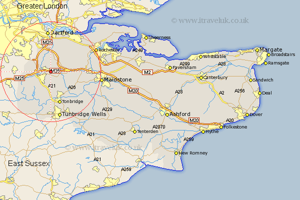
Kent Map Showing Location of Kemsing
Population: 6636
Area Size (ha): 275
District: Sevenoaks
Easting: 555675 Northing: 158077
Latitude: 51.3 Longitude: 0.23
 = Kemsing
Area Size (ha): 275
District: Sevenoaks
Easting: 555675 Northing: 158077
Latitude: 51.3 Longitude: 0.23
= Kemsing
This Kemsing map below is supplied by Google. Use the tools in the top left corner to zoom into street level or zoom out for a road map, you may also need to zoom in to see Kemsing on the map. Click and drag the map to move around. If the map fails to load try and refresh your browser or zoom in or out (+ or -).
Update - it seems Google no longer allow people to use their maps for free! This Kemsing map sometimes loads and sometimes gives a error. I am working on a solution.
Closest 30 Towns or Cities to Kemsing (Population over 500)
Seal 2.19km Otford 3.48km West Kingsdown 3.88km Shoreham 3.94km Sevenoaks 4.37km Borough Green 4.99km Eynsford 5.68km Wrotham 5.79km Ridley 6.87km Fort Halstead 7.19km Halstead 7.19km Halsted 7.19km Chevening 7.2km Ash 7.24km Plaxtol 7.24km Farningham 7.51km Knockholt 9.27km Hartley 9.41km Offham 9.46km Weald 9.89km Brasted 9.99km Hextable 10.07km Ide Hill 10.17km Swanley 10.36km Ryarsh 10.43km Mereworth 10.81km Longfield 10.92km Westerham 11.07km Hildenborough 11.12km Hadlow 11.58km