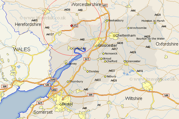
Gloucestershire Map Showing Location of Kempley
Population: 288
District: Forest of Dean
Easting: 366797 Northing: 229960
Latitude: 51.97 Longitude: -2.48
 = Kempley
District: Forest of Dean
Easting: 366797 Northing: 229960
Latitude: 51.97 Longitude: -2.48
= Kempley
This Kempley map below is supplied by Google. Use the tools in the top left corner to zoom into street level or zoom out for a road map, you may also need to zoom in to see Kempley on the map. Click and drag the map to move around. If the map fails to load try and refresh your browser or zoom in or out (+ or -).
Update - it seems Google no longer allow people to use their maps for free! This Kempley map sometimes loads and sometimes gives a error. I am working on a solution.
Closest 30 Towns or Cities to Kempley (Population over 500)
Dymock 3.89km Newent 6.81km Redmarley D'Abitot 9.32km Milcheldean 11.12km Mitcheldean 11.12km Longhope 11.35km Tibberton 11.77km Huntley 12.5km Drybrook 13.03km Corse 13.1km Hartpury 13.74km Lydbrook 14.68km Ashleworth 15.31km Cinderford 16.68km Newnham 18.85km Newham 18.85km Deerhurst 19.41km Coleford 20.19km Staunton 20.22km Hardwicke 20.89km Innsworth 21.53km Quedgeley 21.6km Gloucester 21.82km Staverton 22.41km Awre 22.5km Tewkesbury 23.13km Newland 23.38km Churchdown 23.61km Frampton-on-Severn 23.64km Frampton 23.64km