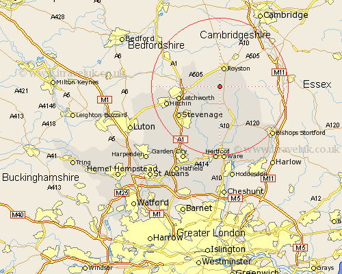
Hertfordshire Map Showing Location of Kelshall
Population: 149
District: North Hertfordshire
Easting: 533849 Northing: 235348
Latitude: 52 Longitude: -0.05
 = Kelshall
District: North Hertfordshire
Easting: 533849 Northing: 235348
Latitude: 52 Longitude: -0.05
= Kelshall
This Kelshall map below is supplied by Google. Use the tools in the top left corner to zoom into street level or zoom out for a road map, you may also need to zoom in to see Kelshall on the map. Click and drag the map to move around. If the map fails to load try and refresh your browser or zoom in or out (+ or -).
Update - it seems Google no longer allow people to use their maps for free! This Kelshall map sometimes loads and sometimes gives a error. I am working on a solution.
Closest 30 Towns or Cities to Kelshall (Population over 500)
Therfield 1.86km Barkway 4.56km Royston 5.68km Buntingford 6.01km Barley 6.8km Cottered 7.76km Ashwell 7.78km Hormead 7.97km Baldock 9.32km Weston 9.73km Walkern 10.88km Letchworth 12km Braughing 12.02km Graveley 12.67km Benington 13.42km Bennington 13.42km Wymondley 13.61km Great Wymondley 13.61km Standon 14.18km Albury 14.39km Aston 14.68km Stevenage 14.7km Little Munden 14.82km Ickleford 15.29km Hitchin 15.85km Little Hadham 15.87km Watton 17.03km Watton at Stone 17.03km Datchworth 18.03km Thundridge 18.68km