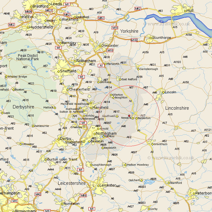
Nottinghamshire Map Showing Location of Kelham
Population: 152
District: Newark and Sherwood
Easting: 477019 Northing: 354660
Latitude: 53.08 Longitude: -0.85
 = Kelham
District: Newark and Sherwood
Easting: 477019 Northing: 354660
Latitude: 53.08 Longitude: -0.85
= Kelham
This Kelham map below is supplied by Google. Use the tools in the top left corner to zoom into street level or zoom out for a road map, you may also need to zoom in to see Kelham on the map. Click and drag the map to move around. If the map fails to load try and refresh your browser or zoom in or out (+ or -).
Update - it seems Google no longer allow people to use their maps for free! This Kelham map sometimes loads and sometimes gives a error. I am working on a solution.
Closest 30 Towns or Cities to Kelham (Population over 500)
Newark on Trent 2.89km Newark-on-Trent 2.89km Newark 2.89km Newark upon Trent 2.89km Farndon 3.7km Muskham 4.33km North Muskham 4.33km Balderton 4.82km Winthorpe 4.82km Fiskerton Ferry 4.99km Fiskerton 4.99km Coddington 6.68km Southwell 7.36km Elston 7.49km Bleasby 7.87km North Collingham 9.98km Collingham 9.98km Flintham 11.61km Farnsfield 12.38km Bilsthorpe 13.44km East Bridgford 14.59km Oxton 14.94km Tuxford 15km Boughton 16.12km Woodborough 16.27km Burton Joyce 16.55km Claverton 16.55km Calverton 16.55km Aslocton 16.83km Aslockton 16.83km