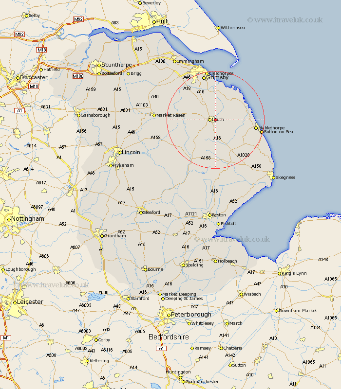
Lincolnshire Map Showing Location of Keddington
Population: 86
District: East Lindsey
Easting: 534168 Northing: 387461
Latitude: 53.37 Longitude: 0.02
 = Keddington
District: East Lindsey
Easting: 534168 Northing: 387461
Latitude: 53.37 Longitude: 0.02
= Keddington
This Keddington map below is supplied by Google. Use the tools in the top left corner to zoom into street level or zoom out for a road map, you may also need to zoom in to see Keddington on the map. Click and drag the map to move around. If the map fails to load try and refresh your browser or zoom in or out (+ or -).
Update - it seems Google no longer allow people to use their maps for free! This Keddington map sometimes loads and sometimes gives a error. I am working on a solution.
Closest 30 Towns or Cities to Keddington (Population over 500)
Louth 2.21km Legbourne 4.32km Grimoldby 4.42km Manby 5.53km Fulstow 9.52km North Coates 11.17km North Somercotes 11.53km Saltfleetby St. Clement 11.66km Saltfleetby St Clement 11.66km Saltfleetby Saint Clement 11.66km Saltfleetby 11.66km Grainthorpe 11.96km North Thoresby 11.97km Saltfleet 12.37km Tetney 13.15km binbrook 15.19km Mablethorpe 15.93km Alford 17.06km Holton le Clay 17.57km Waltham 18.38km Sutton on Sea 18.56km Sutton-on-Sea 18.56km Humberston 18.82km Humberstone 18.82km Great Grimsby 19.04km Grimsby 19.04km Banovallum 20.55km Horncastle 20.55km Cleethorpes 20.65km Willoughby 20.66km