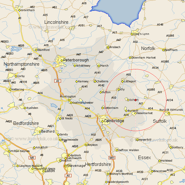
Cambridgeshire Map Showing Location of Isleham
Population: 1916
Area Size (ha): 59
District: East Cambridgeshire
Easting: 564642 Northing: 273371
Latitude: 52.33 Longitude: 0.42
 = Isleham
Area Size (ha): 59
District: East Cambridgeshire
Easting: 564642 Northing: 273371
Latitude: 52.33 Longitude: 0.42
= Isleham
This Isleham map below is supplied by Google. Use the tools in the top left corner to zoom into street level or zoom out for a road map, you may also need to zoom in to see Isleham on the map. Click and drag the map to move around. If the map fails to load try and refresh your browser or zoom in or out (+ or -).
Update - it seems Google no longer allow people to use their maps for free! This Isleham map sometimes loads and sometimes gives a error. I am working on a solution.
Closest 30 Towns or Cities to Isleham (Population over 500)
Chippenham 3.87km Fordham 3.87km Soham 4.53km Wicken 8.75km Burwell 9.33km Swaffham Prior 12.2km Ely 12.6km Cheveley 13.41km Ashley 13.74km Stretham 14.08km Swaffham Bulbeck 14.35km Stetchworth 14.87km Littleport 15.2km Dullingham 15.21km Witchford 15.73km Downham 15.86km Bottisham 16.5km Wilburton 17.09km Haddenham 18.21km Waterbeach 18.37km Wilbraham 20.17km Great Wilbraham 20.17km Cottenham 21.14km Milton 21.28km Fulbourn 21.53km Fulbourne 21.53km Mepal 21.68km Teversham 21.72km Sutton 22.21km Manea 23km