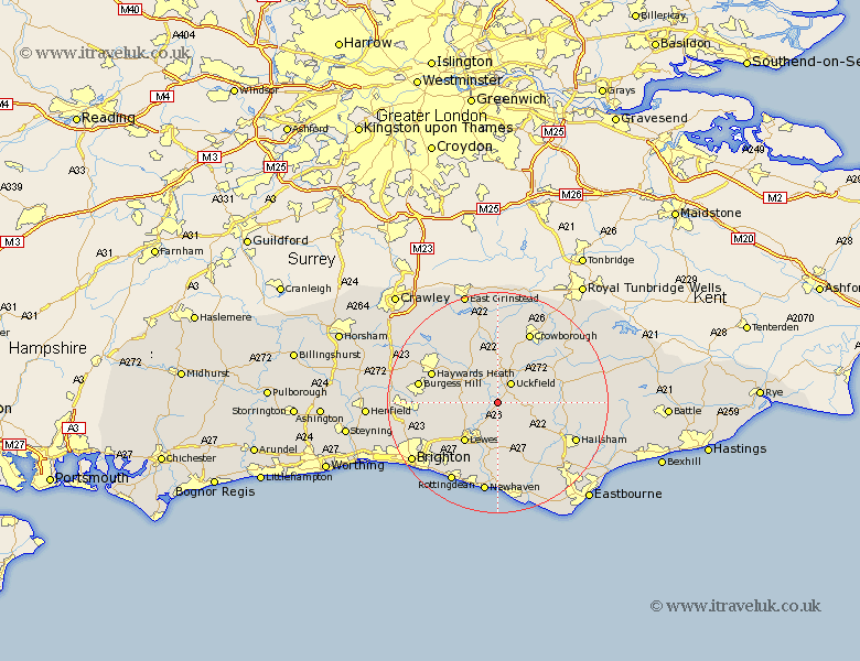
Sussex Map Showing Location of Isfield
Population: 559
District: Wealden
Easting: 545204 Northing: 116967
Latitude: 50.93 Longitude: 0.07
 = Isfield
District: Wealden
Easting: 545204 Northing: 116967
Latitude: 50.93 Longitude: 0.07
= Isfield
This Isfield map below is supplied by Google. Use the tools in the top left corner to zoom into street level or zoom out for a road map, you may also need to zoom in to see Isfield on the map. Click and drag the map to move around. If the map fails to load try and refresh your browser or zoom in or out (+ or -).
Update - it seems Google no longer allow people to use their maps for free! This Isfield map sometimes loads and sometimes gives a error. I am working on a solution.
Closest 30 Towns or Cities to Isfield (Population over 500)
Chailey 3.96km Barcombe Mills Station 4.38km Uckfield 4.39km Framfield 5.03km Newick 5.1km Ringmer 5.56km Maresfield 5.68km Fletching 6.03km East Hoathly 7.25km Buxted 7.26km Laughton 7.26km Chiddingly 8.98km Lewes 9.43km Hadlow Down 9.88km Plumpton 9.89km Wivelsfield 10.67km Chalvington 10.95km Kingston 10.95km Kingston near Lewes 10.95km Horsted Keynes 10.96km Ditchelling 11.83km Ditchling 11.83km Lindfield 11.92km Haywards Heath 12.93km Baywards Heath 12.93km Horam 12.98km Horeham 12.98km Heathfield 14.14km Hassocks 14.14km Keymer 14.14km