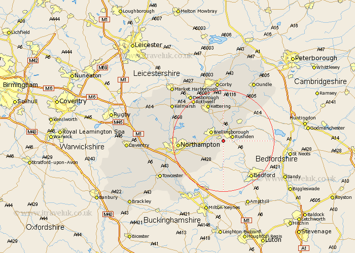
Northamptonshire Map Showing Location of Irchester
Population: 4470
Area Size (ha): 88
District: Wellingborough
Easting: 493252 Northing: 264094
Latitude: 52.27 Longitude: -0.63
 = Irchester
Area Size (ha): 88
District: Wellingborough
Easting: 493252 Northing: 264094
Latitude: 52.27 Longitude: -0.63
= Irchester
This Irchester map below is supplied by Google. Use the tools in the top left corner to zoom into street level or zoom out for a road map, you may also need to zoom in to see Irchester on the map. Click and drag the map to move around. If the map fails to load try and refresh your browser or zoom in or out (+ or -).
Update - it seems Google no longer allow people to use their maps for free! This Irchester map sometimes loads and sometimes gives a error. I am working on a solution.
Closest 30 Towns or Cities to Irchester (Population over 500)
Wollaston 2.93km Rushden 3.87km Great Doddington 4.54km Doddington 4.54km Higham Ferrers 5.03km Wilby 5.67km Wellingborough 5.85km Irthlingborough 6km Bozeat 6.01km Finedon 7.41km Stanwick 7.94km Earls Barton 8.15km Whiston 8.77km Burton Latimer 9.54km Raunds 10.05km Yardley Hastings 10.07km Isham 10.31km Sywell 10.37km Ringstead 10.86km Denton 11.72km Woodford 12km Overstone 12.61km Great Billing 12.62km Billing 12.62km Broughton 14.35km Walgrave 14.5km Islip 14.64km Great Houghton 14.71km Houghton 14.71km Moulton 14.86km