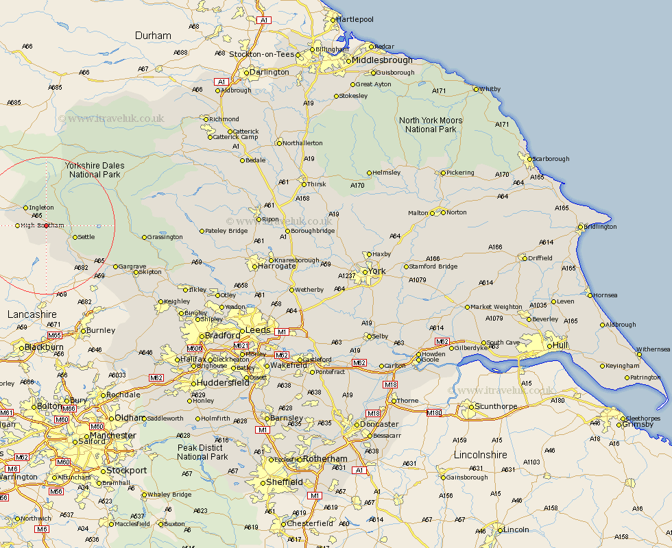
Yorkshire Map Showing Location of Ingleborough
District: Craven
Easting: 374935 Northing: 467210
Latitude: 54.1 Longitude: -2.38
 = Ingleborough
Easting: 374935 Northing: 467210
Latitude: 54.1 Longitude: -2.38
= Ingleborough
This Ingleborough map below is supplied by Google. Use the tools in the top left corner to zoom into street level or zoom out for a road map, you may also need to zoom in to see Ingleborough on the map. Click and drag the map to move around. If the map fails to load try and refresh your browser or zoom in or out (+ or -).
Update - it seems Google no longer allow people to use their maps for free! This Ingleborough map sometimes loads and sometimes gives a error. I am working on a solution.
Closest 30 Towns or Cities to Ingleborough (Population over 500)
High Bentham 7.61km Bentham 7.61km Ingleton 7.77km Settle 8.46km Giggleswick 9.43km Burton in Lonsdale 10.45km Long Preston 14.12km Hellifield 16.94km Gargrave 22.6km Threshfield 24.56km Hawes 25.23km Grassington 26.35km Earby 26.82km Skipton 28.16km Carlton 28.6km Carleton 28.6km Embsay 30.03km Bradley 30.07km Cononley 31.46km Glusburn 33.5km Sutton-in-Craven 35.56km Silsden 36.87km Steeton 37.19km Addingham 37.56km Keighley 38.87km Bewerley 40.26km Middleham 42.13km Ilkley 42.27km Haworth 42.38km Leyburn 43.05km