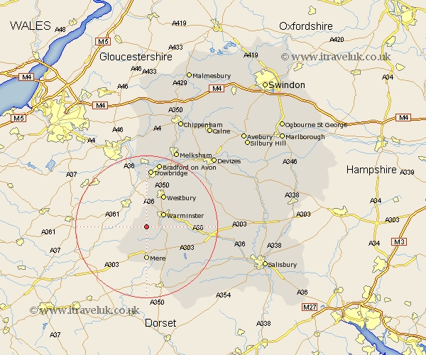
Wiltshire Map Showing Location of Horningsham
Population: 418
District: West Wiltshire
Easting: 382522 Northing: 140916
Latitude: 51.17 Longitude: -2.25
 = Horningsham
District: West Wiltshire
Easting: 382522 Northing: 140916
Latitude: 51.17 Longitude: -2.25
= Horningsham
This Horningsham map below is supplied by Google. Use the tools in the top left corner to zoom into street level or zoom out for a road map, you may also need to zoom in to see Horningsham on the map. Click and drag the map to move around. If the map fails to load try and refresh your browser or zoom in or out (+ or -).
Update - it seems Google no longer allow people to use their maps for free! This Horningsham map sometimes loads and sometimes gives a error. I am working on a solution.
Closest 30 Towns or Cities to Horningsham (Population over 500)
Longbridge Deverill 3.49km Corsley 5.56km Warminster 5.94km Dilton 8.18km Zeal 8.76km Zeals 8.76km Mere 9.27km Heytesbury 9.48km Westbury 10.36km Hindon 11.01km East Knoyle 12.55km Bishop's Knoyle 12.55km Southwick 13.02km North Bradley 13.17km Codford 14.07km Bratton 14.49km Edington 15.26km Tisbury 16.09km Semley 16.4km Trowbridge 16.72km Westwood 16.84km Steeple Ashton 16.9km Hilperton 17.31km Erlestoke 18.2km Bradford on Avon 18.85km Bradford-on-Avon 18.85km Limpley Stoke 19.41km West Lavington 19.73km Holt 20.68km Dinton 20.79km