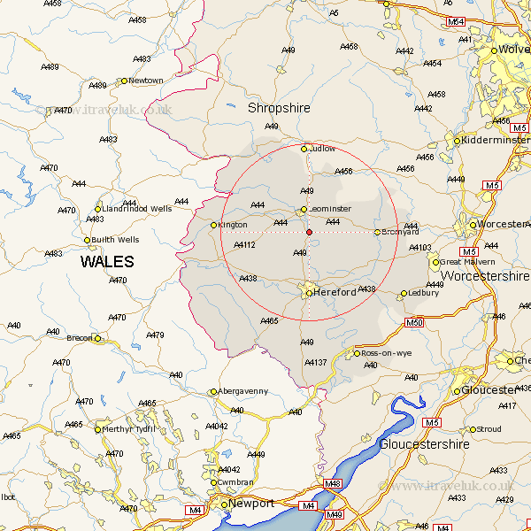
Herefordshire Map Showing Location of Hope Under Dinmore
Population: 375
Easting: 351006 Northing: 254181
Latitude: 52.18 Longitude: -2.72
 = Hope Under Dinmore
Easting: 351006 Northing: 254181
Latitude: 52.18 Longitude: -2.72
= Hope Under Dinmore
This Hope Under Dinmore map below is supplied by Google. Use the tools in the top left corner to zoom into street level or zoom out for a road map, you may also need to zoom in to see Hope Under Dinmore on the map. Click and drag the map to move around. If the map fails to load try and refresh your browser or zoom in or out (+ or -).
Update - it seems Google no longer allow people to use their maps for free! This Hope Under Dinmore map sometimes loads and sometimes gives a error. I am working on a solution.
Closest 30 Towns or Cities to Hope Under Dinmore (Population over 500)
Bodenham 4.34km Leominster 5.67km Wellington 6.01km Moreton-on-Lugg 9.33km Moreton on Lugg 9.33km Moreton 9.33km Kingsland 9.34km Sutton 9.54km Luston 9.55km Eardisland 9.82km Burghill 9.87km Dilwyn 10.23km Weobley 10.39km Withington 10.87km Credenhill 10.87km Croft 12.48km Shobdon 12.63km Brimfield 13.03km Pembridge 13.03km Orleton 13.17km Lugwardine 13.74km Bromyard 14.77km Hereford 14.82km Mordiford 15.88km Bullingham 16.68km Wigmore 17.39km Lyonshall 18.27km Almeley 18.56km Madley 19km Allensmore 19.08km