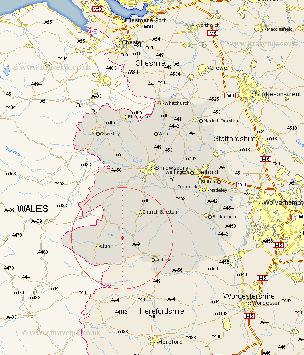
Shropshire Map Showing Location of Hopesay
Population: 453
District: South Shropshire
Easting: 338842 Northing: 283982
Latitude: 52.45 Longitude: -2.9
 = Hopesay
District: South Shropshire
Easting: 338842 Northing: 283982
Latitude: 52.45 Longitude: -2.9
= Hopesay
This Hopesay map below is supplied by Google. Use the tools in the top left corner to zoom into street level or zoom out for a road map, you may also need to zoom in to see Hopesay on the map. Click and drag the map to move around. If the map fails to load try and refresh your browser or zoom in or out (+ or -).
Update - it seems Google no longer allow people to use their maps for free! This Hopesay map sometimes loads and sometimes gives a error. I am working on a solution.
Closest 30 Towns or Cities to Hopesay (Population over 500)
Wistanstow 3.86km North Lydbury 3.86km Lydbury North 3.86km Craven Arms 4.89km Clun 9.77km Bucknell 9.86km Diddlebury 12.56km Church Stretton 13.02km Rushbury 14.46km Ludlow 14.62km Shelve 15.86km Bitterley 17.84km Chirburg 19.33km Chirbury 19.33km Caynham 19.35km Minsterley 20.51km Pontesbury 22.27km Ditton Priors 23.25km Condover 24.44km Berrington 26.03km Baystonhill 26.14km Westbury 26.16km Hanwood 26.55km Great Hanwood 26.55km Cressage 27.97km Much Wenlock 28.96km Cleobury Mortimer 29.22km Ford 29.85km Alberbury 29.85km Shrewsbury 31.72km