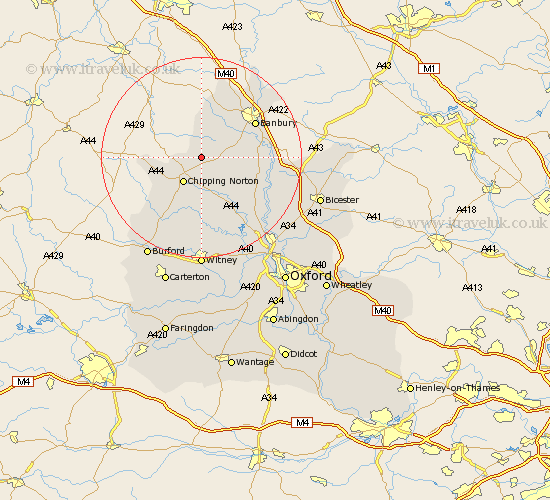
Oxfordshire Map Showing Location of Hook Norton
Population: 1844
Area Size (ha): 61
District: Cherwell
Easting: 435479 Northing: 231822
Latitude: 51.98 Longitude: -1.48
 = Hook Norton
Area Size (ha): 61
District: Cherwell
Easting: 435479 Northing: 231822
Latitude: 51.98 Longitude: -1.48
= Hook Norton
This Hook Norton map below is supplied by Google. Use the tools in the top left corner to zoom into street level or zoom out for a road map, you may also need to zoom in to see Hook Norton on the map. Click and drag the map to move around. If the map fails to load try and refresh your browser or zoom in or out (+ or -).
Update - it seems Google no longer allow people to use their maps for free! This Hook Norton map sometimes loads and sometimes gives a error. I am working on a solution.
Closest 30 Towns or Cities to Hook Norton (Population over 500)
Chipping Norton 6.21km Enstone 7.75km Barford St. John 7.99km Barford St John 7.99km Barford 7.99km Barford Saint John 7.99km Bloxham 8.2km Barton 9.13km Wroxton 10.89km Chadlington 11.35km Deddington 11.41km Churchill 11.52km Adderbury 11.56km Duns Tew 11.69km Banbury 12.66km Kingham 13.01km Charlbury 13.02km Steeple Aston 14.58km Upper Heyford 15.85km Shipton 16.33km Shipton-under-Wychwood 16.33km Shipton under Wychwood 16.33km Stonesfield 17.03km Cropredy 17.27km Tackley 17.28km Fritwell 17.52km Woodstock 18.72km Leafield 18.84km Wardington 18.85km Ardley 19.1km