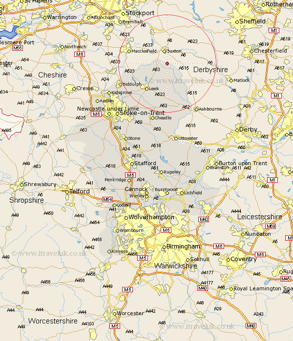
Staffordshire Map Showing Location of Hollinsclough
Population: 159
District: Staffordshire Moorlands
Easting: 406679 Northing: 367027
Latitude: 53.2 Longitude: -1.9
 = Hollinsclough
District: Staffordshire Moorlands
Easting: 406679 Northing: 367027
Latitude: 53.2 Longitude: -1.9
= Hollinsclough
This Hollinsclough map below is supplied by Google. Use the tools in the top left corner to zoom into street level or zoom out for a road map, you may also need to zoom in to see Hollinsclough on the map. Click and drag the map to move around. If the map fails to load try and refresh your browser or zoom in or out (+ or -).
Update - it seems Google no longer allow people to use their maps for free! This Hollinsclough map sometimes loads and sometimes gives a error. I am working on a solution.
Closest 30 Towns or Cities to Hollinsclough (Population over 500)
Leek 13.57km Horton 15.34km Waterhouses 18.67km Cheddleton 18.9km Ipstones 19.06km Endon 19.42km Biddulph 20.05km Kingsley 21.13km Oakamoor 22.27km Mayfield 23.95km Cheadle 24.73km Kidsgrove 25.74km Alton 25.97km Denstone 26.16km Denston 26.16km Caverswall 26.54km Draycott 27.43km Draycott in the Moors 27.43km Rocester 28.15km Stoke upon Trent 29.2km Stoke 29.2km Stoke-upon-Trent 29.2km Stoke on Trent 29.2km Stoke-on-Trent 29.2km Checkley 29.84km Fulford 29.95km Newcastle under Lyme 31.46km Newcastle-under-Lyme 31.46km Audley 31.47km Church Leigh 31.81km