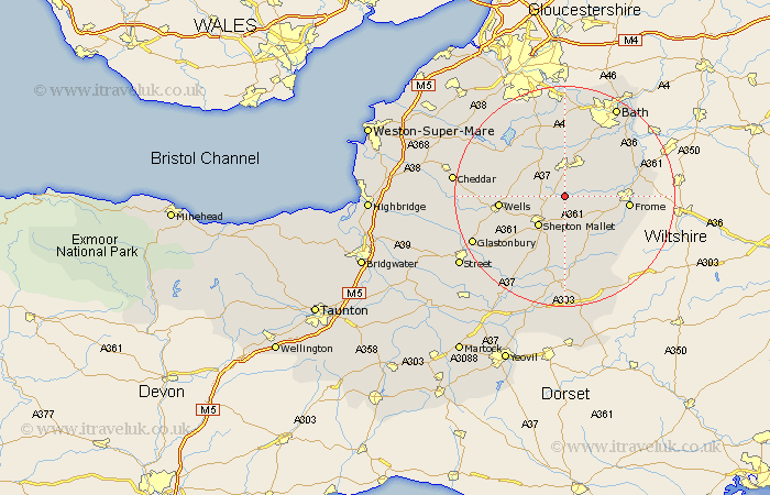
Somerset Map Showing Location of Holcombe
Population: 936
District: Mendip
Easting: 366258 Northing: 148403
Latitude: 51.23 Longitude: -2.48
 = Holcombe
District: Mendip
Easting: 366258 Northing: 148403
Latitude: 51.23 Longitude: -2.48
= Holcombe
This Holcombe map below is supplied by Google. Use the tools in the top left corner to zoom into street level or zoom out for a road map, you may also need to zoom in to see Holcombe on the map. Click and drag the map to move around. If the map fails to load try and refresh your browser or zoom in or out (+ or -).
Update - it seems Google no longer allow people to use their maps for free! This Holcombe map sometimes loads and sometimes gives a error. I am working on a solution.
Closest 30 Towns or Cities to Holcombe (Population over 500)
Coleford 1.78km Leigh upon Mendip 2.97km Leigh 2.97km Leigh-on-Mendip 2.97km Leigh on Mendip 2.97km Chilcompton 3.89km Stratton-on-the-Fosse 3.89km Stratton 3.89km Stratton on the Fosse 3.89km Kilmersden 5.09km Kilmersdon 5.09km Mells 5.8km Farrington Gurney 6.56km Shepun 7.24km Shepton Mallet 7.24km Paulton 7.51km Chewton Mendip 7.89km Nunney 7.89km Timsbury 9.27km Evercreech 9.34km Camerton 9.56km Pilton 10.17km Farmboro 11.18km Farmborough 11.18km Wellow 11.59km Clutton 11.65km Wells 11.75km Frome 11.75km Temple Cloud 12.04km East Harptree 12.8km