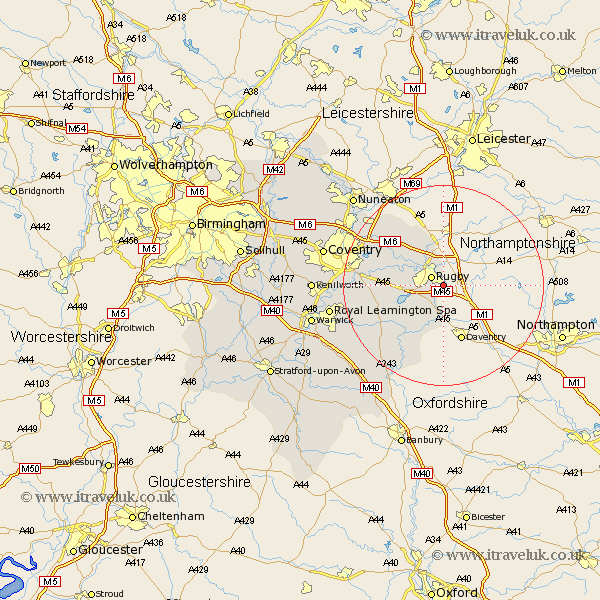
Warwickshire Map Showing Location of Hillmorton
District: Rugby
Easting: 453350 Northing: 272768
Latitude: 52.35 Longitude: -1.22
 = Hillmorton
Easting: 453350 Northing: 272768
Latitude: 52.35 Longitude: -1.22
= Hillmorton
This Hillmorton map below is supplied by Google. Use the tools in the top left corner to zoom into street level or zoom out for a road map, you may also need to zoom in to see Hillmorton on the map. Click and drag the map to move around. If the map fails to load try and refresh your browser or zoom in or out (+ or -).
Update - it seems Google no longer allow people to use their maps for free! This Hillmorton map sometimes loads and sometimes gives a error. I am working on a solution.
Closest 30 Towns or Cities to Hillmorton (Population over 500)
Rugby 2.93km Clifton upon Dunsmore 3.7km Clifton on Dunsmore 3.7km Clifton-on-Dunsmore 3.7km Clifton 3.7km Dunchurch 4.9km Long Lawford 5.96km Brinklow 10.62km Wolston 11.47km Brandon 12.59km Stockton 12.96km Long Itchington 14.63km Napton 14.65km Napton on the Hill 14.65km Napton-on-the-Hill 14.65km Southam 15.88km Shilton 16.68km Bubbenhall 17.08km Priors Marston 17.29km Wolvey 17.98km Baginton 18.2km Bulkington 18.77km Stoneleigh 20.38km Harbury 20.5km Bedworth 21.35km Leamington 22.23km Royal Leamington Spa 22.23km Leamington Spa 22.23km Bishops Itchington 22.26km Whitnash 23.23km