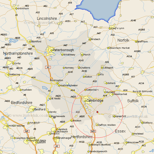
Cambridgeshire Map Showing Location of Hildersham
Population: 202
District: South Cambridgeshire
Easting: 554037 Northing: 248920
Latitude: 52.12 Longitude: 0.25
 = Hildersham
District: South Cambridgeshire
Easting: 554037 Northing: 248920
Latitude: 52.12 Longitude: 0.25
= Hildersham
This Hildersham map below is supplied by Google. Use the tools in the top left corner to zoom into street level or zoom out for a road map, you may also need to zoom in to see Hildersham on the map. Click and drag the map to move around. If the map fails to load try and refresh your browser or zoom in or out (+ or -).
Update - it seems Google no longer allow people to use their maps for free! This Hildersham map sometimes loads and sometimes gives a error. I am working on a solution.
Closest 30 Towns or Cities to Hildersham (Population over 500)
Linton 2.18km Balsham 4.91km Sawston 5.69km Whittlesford 6.83km Ickleton 7.19km Great Wilbraham 7.4km Wilbraham 7.4km Fulbourn 7.75km Fulbourne 7.75km Duxford 7.77km Shelford 8.18km Teversham 10.32km Thriplow 10.41km Hauxton 10.89km Castle Camps 10.89km Castle Camp 10.89km Bottisham 11.18km Harston 11.53km Fowlmere 11.98km Foulmere 11.98km Dullingham 12.21km Foxton 12.52km Cambridge 12.98km Swaffham Bulbeck 13.16km Shepreth 13.66km Haslingfield 13.78km Stetchworth 13.8km Milton 14.65km Barrington 14.79km Swaffham Prior 15.21km