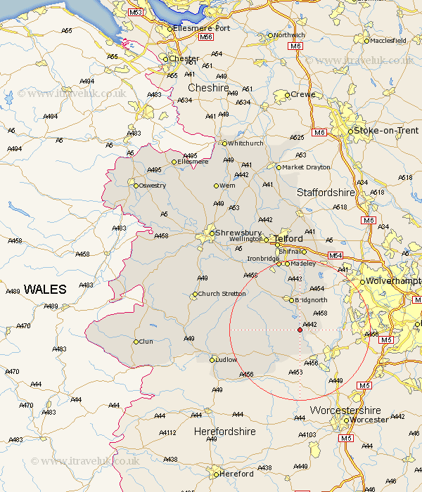
Shropshire Map Showing Location of Highley
Population: 3270
Area Size (ha): 69
District: Bridgnorth
Easting: 373951 Northing: 283670
Latitude: 52.45 Longitude: -2.38
 = Highley
Area Size (ha): 69
District: Bridgnorth
Easting: 373951 Northing: 283670
Latitude: 52.45 Longitude: -2.38
= Highley
This Highley map below is supplied by Google. Use the tools in the top left corner to zoom into street level or zoom out for a road map, you may also need to zoom in to see Highley on the map. Click and drag the map to move around. If the map fails to load try and refresh your browser or zoom in or out (+ or -).
Update - it seems Google no longer allow people to use their maps for free! This Highley map sometimes loads and sometimes gives a error. I am working on a solution.
Closest 30 Towns or Cities to Highley (Population over 500)
Alveley 2.26km Kinlet 4.34km Bridgnorth 9.53km Cleobury Mortimer 10.05km Claverley 10.85km Worfield 11.18km Ditton Priors 13.61km Barrow Bridge 17.61km Barrow 17.61km Bitterley 18.92km Broseley 19.73km Much Wenlock 20.13km Madeley 20.66km Ironbridge 21.15km Albrighton 21.86km Caynham 22.21km Diddlebury 22.66km Rushbury 23.76km Shifnal 24.12km Dawley 24.75km Ludlow 25.48km Cressage 25.78km Telford 26.98km Oakengates 28km Hadley 28.61km Ketley 28.61km Wellington 29.22km Downington 29.85km Donnington 29.85km Trench 30.19km