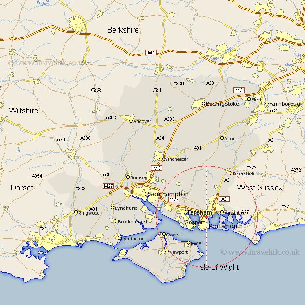
Hampshire Map Showing Location of Cosham
Easting: 465718 Northing: 104229
Latitude: 50.83 Longitude: -1.07
 = Cosham
Latitude: 50.83 Longitude: -1.07
= Cosham
This Cosham map below is supplied by Google. Use the tools in the top left corner to zoom into street level or zoom out for a road map, you may also need to zoom in to see Cosham on the map. Click and drag the map to move around. If the map fails to load try and refresh your browser or zoom in or out (+ or -).
Update - it seems Google no longer allow people to use their maps for free! This Cosham map sometimes loads and sometimes gives a error. I am working on a solution.
Closest 30 Towns or Cities to Cosham (Population over 500)
Portchester 3.51km Porchester 3.51km Portsmouth 4.07km Southwick 5.11km Waterloo 5.11km Waterlooville 5.11km Southsea 5.56km Gosport 5.97km Havant 6.14km Fareham 8.4km Hambledon 9.27km Emsworth 9.55km Rowlands Castle 9.9km Lee on Solent 10.07km Lee-on-the-Solent 10.07km Lee-on-Solent 10.07km Lee on the Solent 10.07km Wickham 10.21km Horndean 10.96km Soberton 12.06km Clanfield 12.06km Shidfield 12.37km Shedfield 12.37km Swanmore 13.15km Ryde 13.15km Waltham Chase 13.17km Seaview 13.18km Droxford 13.79km Saint Helens 15.23km St Helens 15.23km