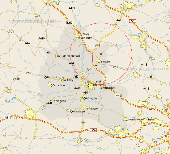
Oxfordshire Map Showing Location of Hethe
Population: 279
District: Cherwell
Easting: 459557 Northing: 228347
Latitude: 51.95 Longitude: -1.13
 = Hethe
District: Cherwell
Easting: 459557 Northing: 228347
Latitude: 51.95 Longitude: -1.13
= Hethe
This Hethe map below is supplied by Google. Use the tools in the top left corner to zoom into street level or zoom out for a road map, you may also need to zoom in to see Hethe on the map. Click and drag the map to move around. If the map fails to load try and refresh your browser or zoom in or out (+ or -).
Update - it seems Google no longer allow people to use their maps for free! This Hethe map sometimes loads and sometimes gives a error. I am working on a solution.
Closest 30 Towns or Cities to Hethe (Population over 500)
Fringford 1.14km Caversfield 2.94km Bicester 5.68km Ardley 6.01km Fritwell 6.85km Launton 7.5km Chesterton 8.17km Upper Heyford 9.33km Ambrosden 11.18km Steeple Aston 12.01km Kirtlington 13.02km Deddington 13.1km Adderbury 13.73km Duns Tew 13.83km Bletchingdon 14.4km Tackley 15.62km Islip 16.33km Barford Saint John 16.41km Barford 16.41km Barford St John 16.41km Barford St. John 16.41km Woodstock 16.79km Bloxham 16.92km Banbury 17.64km Kidlington 18.05km Beckley 18.85km Wardington 19.58km Yarnton 20.23km Cropredy 20.87km Bladon 21km