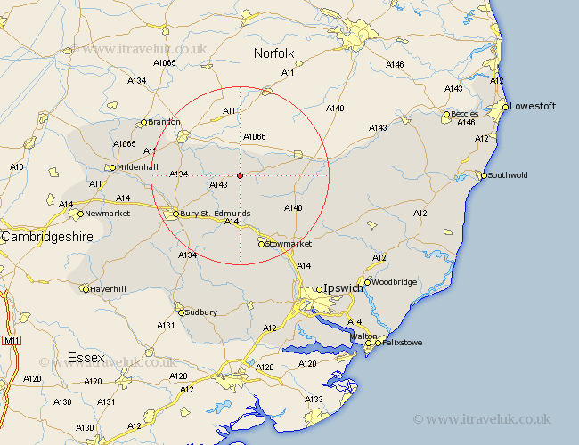
Suffolk Map Showing Location of Hepworth
Population: 514
District: St. Edmundsbury
Easting: 598699 Northing: 274627
Latitude: 52.33 Longitude: 0.92
 = Hepworth
District: St. Edmundsbury
Easting: 598699 Northing: 274627
Latitude: 52.33 Longitude: 0.92
= Hepworth
This Hepworth map below is supplied by Google. Use the tools in the top left corner to zoom into street level or zoom out for a road map, you may also need to zoom in to see Hepworth on the map. Click and drag the map to move around. If the map fails to load try and refresh your browser or zoom in or out (+ or -).
Update - it seems Google no longer allow people to use their maps for free! This Hepworth map sometimes loads and sometimes gives a error. I am working on a solution.
Closest 30 Towns or Cities to Hepworth (Population over 500)
Stanton 2.17km Barningham 2.17km Hopton 3.88km Bardwell 4.89km Badwell Ash 5.56km Ixworth 6.77km Redgrave 6.77km Botesdale 6.79km Honington 7.93km Wortham 9.25km Troston 9.25km Pakenham 9.33km Gislingham 9.79km Norton 9.87km Bacton 10.05km Elmswell 11.12km Thurston 11.49km Great Barton 12.61km Barnham 12.99km Woolpit 13.02km Haughley 13.74km Mendlesham 13.78km Old Newton 14.64km Thorndon 15.75km Eye 15.96km Bury St. Edmunds 16.46km Bury Saint Edmunds 16.46km Bury St Edmunds 16.46km Fornham All Saints 16.49km Rushbrooke 16.5km