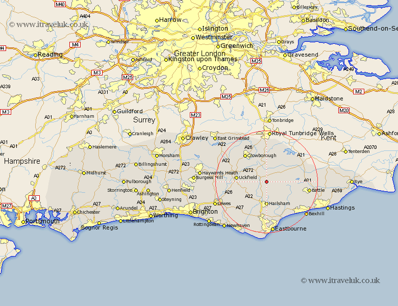
Sussex Map Showing Location of Heathfield
Population: 6502
Area Size (ha): 254
District: Wealden
Easting: 559198 Northing: 119236
Latitude: 50.95 Longitude: 0.27
 = Heathfield
Area Size (ha): 254
District: Wealden
Easting: 559198 Northing: 119236
Latitude: 50.95 Longitude: 0.27
= Heathfield
This Heathfield map below is supplied by Google. Use the tools in the top left corner to zoom into street level or zoom out for a road map, you may also need to zoom in to see Heathfield on the map. Click and drag the map to move around. If the map fails to load try and refresh your browser or zoom in or out (+ or -).
Update - it seems Google no longer allow people to use their maps for free! This Heathfield map sometimes loads and sometimes gives a error. I am working on a solution.
Closest 30 Towns or Cities to Heathfield (Population over 500)
Heathfield 0km Warbleton 2.19km Horeham 3.88km Horam 3.88km Mayfield 5.68km Hadlow Down 6.91km East Hoathly 7.93km Chiddingly 8.06km Hurstmonceaux 8.77km Hurstmonceux 8.77km Herstmonceux 8.77km Hailsham 9.26km Hellingly 9.34km Framfield 9.34km Burwash 9.88km Rotherfield 9.9km Buxted 10.04km Uckfield 11.82km Laughton 11.93km Wadhurst 12.06km Etchingham 12.93km Maresfield 13.36km Crowborough 13.79km Chalvington 13.81km Ticehurst 14km Ninfield 14.01km Mountfield 14.14km Isfield 14.14km Robertsbridge 14.49km Frant 14.82km