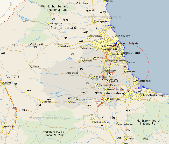
Durham Map Showing Location of Hawthorn
Population: 360
District: Easington
Easting: 441781 Northing: 545217
Latitude: 54.8 Longitude: -1.35
 = Hawthorn
District: Easington
Easting: 441781 Northing: 545217
Latitude: 54.8 Longitude: -1.35
= Hawthorn
This Hawthorn map below is supplied by Google. Use the tools in the top left corner to zoom into street level or zoom out for a road map, you may also need to zoom in to see Hawthorn on the map. Click and drag the map to move around. If the map fails to load try and refresh your browser or zoom in or out (+ or -).
Update - it seems Google no longer allow people to use their maps for free! This Hawthorn map sometimes loads and sometimes gives a error. I am working on a solution.
Closest 30 Towns or Cities to Hawthorn (Population over 500)
Easington 1.74km Shotton 2.14km Dalton 2.14km Dalton le Dale 2.14km South Hetton 3.2km Seaham 4.15km Seaham Harbour 4.15km Peterlee 4.21km Seaton 4.27km Murton 4.66km Haswell 4.66km Hesleden 5.96km Hetton le Hole 6.67km Horden 7.01km Thornley 7.71km Wingate 7.72km Pittington 8.55km Hutton Henry 9.26km Houghton le Spring 9.31km Sherburn 9.32km West Rainton 9.79km Hart 10.69km Trimdon 11.91km Shincliffe 12.32km Sunderland 12.62km Bowburn 13.01km Coxhoe 13.36km Elwick 13.66km Fishburn 14.03km Durham 14.38km