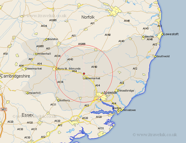
Suffolk Map Showing Location of Haughley
Population: 1710
District: Mid Suffolk
Easting: 603774 Northing: 261848
Latitude: 52.22 Longitude: 0.98
 = Haughley
District: Mid Suffolk
Easting: 603774 Northing: 261848
Latitude: 52.22 Longitude: 0.98
= Haughley
This Haughley map below is supplied by Google. Use the tools in the top left corner to zoom into street level or zoom out for a road map, you may also need to zoom in to see Haughley on the map. Click and drag the map to move around. If the map fails to load try and refresh your browser or zoom in or out (+ or -).
Update - it seems Google no longer allow people to use their maps for free! This Haughley map sometimes loads and sometimes gives a error. I am working on a solution.
Closest 30 Towns or Cities to Haughley (Population over 500)
Old Newton 2.27km Stowmarket 3.71km Elmswell 4.9km Woolpit 5.68km Bacton 6.01km Great Finborough 6.52km Finborough 6.52km Mendlesham 6.78km Rattlesden 7.76km Badwell Ash 8.69km Norton 8.77km Ringshall 9.27km Gislingham 10.31km Great Bricett 11.12km Pakenham 11.63km Thurston 11.94km Stanton 12.48km Hitcham 12.49km Thorndon 12.61km Bradfield St George 12.63km Bradfield 12.63km Bradfield Saint George 12.63km Bradfield St. George 12.63km Coddenham 12.99km Botesdale 13.16km Debenham 13.62km Hepworth 13.74km Bildeston 13.75km Somersham 13.75km Ixworth 13.78km