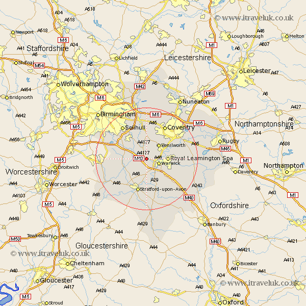
Warwickshire Map Showing Location of Hatton
Population: 1078
District: Warwick
Easting: 423864 Northing: 266976
Latitude: 52.3 Longitude: -1.65
 = Hatton
District: Warwick
Easting: 423864 Northing: 266976
Latitude: 52.3 Longitude: -1.65
= Hatton
This Hatton map below is supplied by Google. Use the tools in the top left corner to zoom into street level or zoom out for a road map, you may also need to zoom in to see Hatton on the map. Click and drag the map to move around. If the map fails to load try and refresh your browser or zoom in or out (+ or -).
Update - it seems Google no longer allow people to use their maps for free! This Hatton map sometimes loads and sometimes gives a error. I am working on a solution.
Closest 30 Towns or Cities to Hatton (Population over 500)
Shrewley 1.13km Rowington 3.87km Warwick 4.9km Claverdon 5.03km Kenilworth 7.17km Lapworth 7.74km Temple Balsall 7.75km Royal Leamington Spa 7.93km Leamington 7.93km Leamington Spa 7.93km Henley in Arden 8.15km Barford 8.16km Snitterfield 9.34km Bearley 9.34km Wootton Wawen 9.69km Stoneleigh 10.63km Whitnash 10.64km Knowle 10.85km Bishops Tachbrook 10.87km Berkswell 11.18km Berkeswell 11.18km Ullenhall 11.33km Aston Cantlow 12.62km Bubbenhall 13km Hampton in Arden 13.41km Stratford upon Avon 13.42km Stratford 13.42km Stratford-on-Avon 13.42km Stratford-upon-Avon 13.42km Stratford on Avon 13.42km