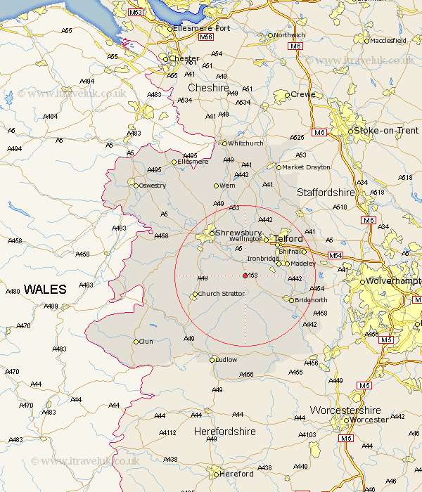
Shropshire Map Showing Location of Harley
Population: 178
District: Shrewsbury and Atcham
Easting: 359366 Northing: 300454
Latitude: 52.6 Longitude: -2.6
 = Harley
District: Shrewsbury and Atcham
Easting: 359366 Northing: 300454
Latitude: 52.6 Longitude: -2.6
= Harley
This Harley map below is supplied by Google. Use the tools in the top left corner to zoom into street level or zoom out for a road map, you may also need to zoom in to see Harley on the map. Click and drag the map to move around. If the map fails to load try and refresh your browser or zoom in or out (+ or -).
Update - it seems Google no longer allow people to use their maps for free! This Harley map sometimes loads and sometimes gives a error. I am working on a solution.
Closest 30 Towns or Cities to Harley (Population over 500)
Much Wenlock 3.38km Cressage 3.87km Broseley 8.09km Berrington 8.74km Barrow Bridge 9.01km Barrow 9.01km Ironbridge 9.73km Wrockwardine 11.34km Ditton Priors 11.35km Condover 11.55km Dawley 11.66km Madeley 11.85km Rushbury 12.17km Wellington 12.46km Baystonhill 12.55km Telford 12.85km Ketley 13.62km Hadley 13.62km Bridgnorth 14.44km Church Stretton 14.61km Rodington 14.86km Shrewsbury 15.79km Trench 15.79km Oakengates 15.81km High Ercall 16.68km Ercall Magna 16.68km Worfield 16.72km Diddlebury 16.79km Downington 17.17km Donnington 17.17km