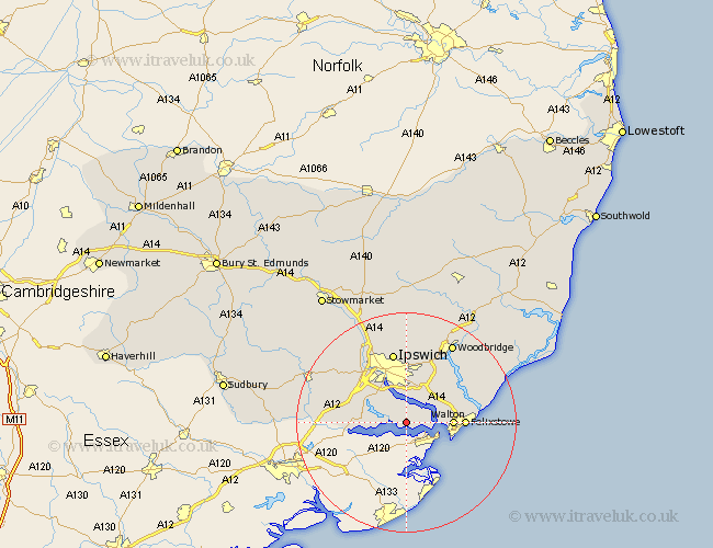
Suffolk Map Showing Location of Harkstead
Population: 276
District: Babergh
Easting: 619796 Northing: 234687
Latitude: 51.97 Longitude: 1.2
 = Harkstead
District: Babergh
Easting: 619796 Northing: 234687
Latitude: 51.97 Longitude: 1.2
= Harkstead
This Harkstead map below is supplied by Google. Use the tools in the top left corner to zoom into street level or zoom out for a road map, you may also need to zoom in to see Harkstead on the map. Click and drag the map to move around. If the map fails to load try and refresh your browser or zoom in or out (+ or -).
Update - it seems Google no longer allow people to use their maps for free! This Harkstead map sometimes loads and sometimes gives a error. I am working on a solution.
Closest 30 Towns or Cities to Harkstead (Population over 500)
Chelmondiston 2.17km Holbrook 2.94km Shotley 3.43km Stutton 3.43km Nacton 6.01km Bucklesham 8.16km Bentley 8.2km Walton 8.22km Kirton 8.81km Kirkton 8.81km Manningtree 9.32km Capel St. Mary 9.85km Capel 9.85km Capel Saint Mary 9.85km Capel St Mary 9.85km Felixstowe 10.28km Sprughton 11.52km Sproughton 11.52km Martlesham Heath 12.5km East Bergholt 12.56km Bramford 13.06km Ipswich 13.16km Hintlesham 13.83km Claydon 14.16km Martlesham 14.66km Witnesham 14.87km Wirnesham 14.87km Sutton 15.13km Grundisburgh 15.21km Great Blakenham 16.32km