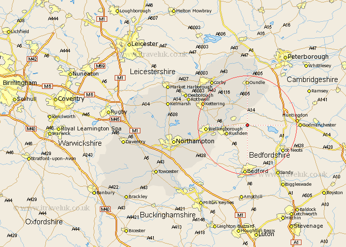
Northamptonshire Map Showing Location of Hargrave
Population: 236
District: East Northamptonshire
Easting: 504506 Northing: 269882
Latitude: 52.32 Longitude: -0.47
 = Hargrave
District: East Northamptonshire
Easting: 504506 Northing: 269882
Latitude: 52.32 Longitude: -0.47
= Hargrave
This Hargrave map below is supplied by Google. Use the tools in the top left corner to zoom into street level or zoom out for a road map, you may also need to zoom in to see Hargrave on the map. Click and drag the map to move around. If the map fails to load try and refresh your browser or zoom in or out (+ or -).
Update - it seems Google no longer allow people to use their maps for free! This Hargrave map sometimes loads and sometimes gives a error. I am working on a solution.
Closest 30 Towns or Cities to Hargrave (Population over 500)
Raunds 4.89km Stanwick 5.66km Ringstead 6.77km Higham Ferrers 8.15km Islip 8.68km Rushden 8.76km Woodford 8.78km Irthlingborough 9.06km Titchmarsh 9.33km Thrapston 10.31km Finedon 11.48km Irchester 12.63km Burton Latimer 14.09km Wollaston 15.49km Wellingborough 15.97km Isham 16.28km Doddington 16.82km Great Doddington 16.82km Brigstock 17.37km Bozeat 17.57km Wilby 17.89km Oundle 18.53km Kettering 19.34km Geddington 19.61km Earls Barton 20.65km Stanion 20.81km Warmington 20.88km Broughton 21.13km Whiston 21.39km Weldon 21.7km