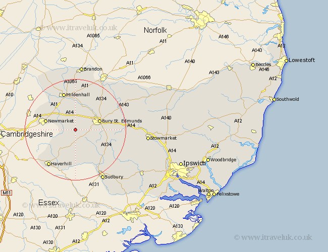
Suffolk Map Showing Location of Hargrave
Population: 273
District: St. Edmundsbury
Easting: 576457 Northing: 260798
Latitude: 52.22 Longitude: 0.58
 = Hargrave
District: St. Edmundsbury
Easting: 576457 Northing: 260798
Latitude: 52.22 Longitude: 0.58
= Hargrave
This Hargrave map below is supplied by Google. Use the tools in the top left corner to zoom into street level or zoom out for a road map, you may also need to zoom in to see Hargrave on the map. Click and drag the map to move around. If the map fails to load try and refresh your browser or zoom in or out (+ or -).
Update - it seems Google no longer allow people to use their maps for free! This Hargrave map sometimes loads and sometimes gives a error. I am working on a solution.
Closest 30 Towns or Cities to Hargrave (Population over 500)
Barrow 1.85km Chevington 2.93km Chedburgh 4.35km Gazeley 5.86km Risby 6.52km Wickhambrook 7.5km Moulton 7.75km Fornham All Saints 9.7km Bury St Edmunds 9.81km Bury Saint Edmunds 9.81km Bury St. Edmunds 9.81km Newmarket 11.94km Rushbrooke 12.49km Lawshall 12.63km Hundon 13.17km Great Barton 13.67km Glemsford 14.17km Clare 14.83km Bradfield Saint George 14.88km Bradfield St. George 14.88km Bradfield 14.88km Bradfield St George 14.88km Cavendish 15.22km Mildenhall 15.5km Cockfield 15.52km Thurlow 15.9km Thurston 16.32km Kedington 16.33km Exning 16.83km Eriswell 17.02km