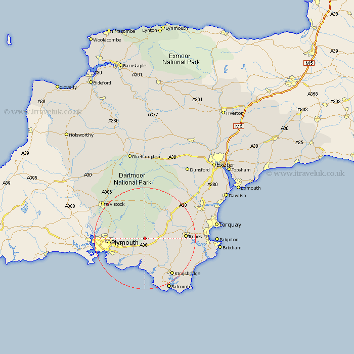
Devon Map Showing Location of Harford
Population: 77
District: South Hams
Easting: 263846 Northing: 59249
Latitude: 50.42 Longitude: -3.92
 = Harford
District: South Hams
Easting: 263846 Northing: 59249
Latitude: 50.42 Longitude: -3.92
= Harford
This Harford map below is supplied by Google. Use the tools in the top left corner to zoom into street level or zoom out for a road map, you may also need to zoom in to see Harford on the map. Click and drag the map to move around. If the map fails to load try and refresh your browser or zoom in or out (+ or -).
Update - it seems Google no longer allow people to use their maps for free! This Harford map sometimes loads and sometimes gives a error. I am working on a solution.
Closest 30 Towns or Cities to Harford (Population over 500)
Cornwood 3.54km Ivybridge 3.71km Ermington 5.56km Ugborough 6.01km South Brent 6.19km Brent 6.19km Modbury 7.78km Yealmpton 8.79km Holbeton 9.57km Diptford 9.63km Shaugh Prior 10.14km Brixton 11.11km Bickleigh 11.25km Meavy 12km Buckfastleigh 12km Newton Ferrers 13.86km Yelverton 13.93km Harberton 14.17km Aveton Gifford 14.26km Plymouth 14.29km Loddiswell 14.6km Walkhampton 15.37km Horrabridge 15.94km Totnes 16.09km Ashburton 16.21km Wembury 16.23km Staverton 16.32km Thurlestone 17.05km Thurleston 17.05km East Allington 17.11km