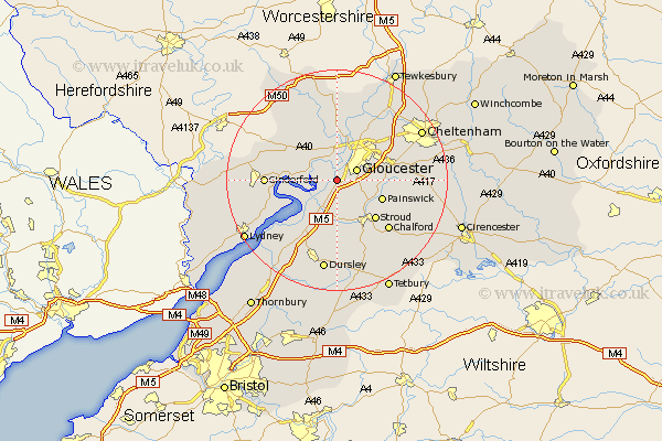
Gloucestershire Map Showing Location of Hardwicke
Population: 3667
District: Stroud
Easting: 379322 Northing: 213211
Latitude: 51.82 Longitude: -2.3
 = Hardwicke
District: Stroud
Easting: 379322 Northing: 213211
Latitude: 51.82 Longitude: -2.3
= Hardwicke
This Hardwicke map below is supplied by Google. Use the tools in the top left corner to zoom into street level or zoom out for a road map, you may also need to zoom in to see Hardwicke on the map. Click and drag the map to move around. If the map fails to load try and refresh your browser or zoom in or out (+ or -).
Update - it seems Google no longer allow people to use their maps for free! This Hardwicke map sometimes loads and sometimes gives a error. I am working on a solution.
Closest 30 Towns or Cities to Hardwicke (Population over 500)
Hardwicke 0km Quedgeley 1.15km Gloucester 3.9km Randwick 6.54km Frampton 7.21km Frampton-on-Severn 7.21km Frampton on Severn 7.21km Stonehouse 7.5km Hucclecote 8.83km Huntley 8.84km Painswick 8.84km Newham 9.35km Newnham 9.35km Tibberton 9.88km Brockworth 9.88km Innsworth 10.1km Stroud 10.12km Awre 10.72km Hartpury 11.12km Coaley 11.35km Longhope 11.71km Churchdown 11.78km Woodchester 12.03km Slimbridge 12.51km Cinderford 12.6km Corse 12.97km Chalford 13.04km Ashleworth 13.17km Cam 13.43km Mitcheldean 13.77km