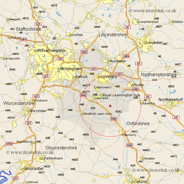
Warwickshire Map Showing Location of Harbury
Population: 2341
Area Size (ha): 59
District: Stratford-on-Avon
Easting: 437557 Northing: 259642
Latitude: 52.23 Longitude: -1.45
 = Harbury
Area Size (ha): 59
District: Stratford-on-Avon
Easting: 437557 Northing: 259642
Latitude: 52.23 Longitude: -1.45
= Harbury
This Harbury map below is supplied by Google. Use the tools in the top left corner to zoom into street level or zoom out for a road map, you may also need to zoom in to see Harbury on the map. Click and drag the map to move around. If the map fails to load try and refresh your browser or zoom in or out (+ or -).
Update - it seems Google no longer allow people to use their maps for free! This Harbury map sometimes loads and sometimes gives a error. I am working on a solution.
Closest 30 Towns or Cities to Harbury (Population over 500)
Bishops Itchington 3.87km Whitnash 4.9km Southam 4.9km Bishops Tachbrook 5.67km Long Itchington 5.87km Lighthorne 6.52km Stockton 7.75km Napton 9.08km Napton-on-the-Hill 9.08km Napton on the Hill 9.08km Leamington 9.34km Royal Leamington Spa 9.34km Leamington Spa 9.34km Kineton 9.87km Barford 10.22km Fenny Compton 10.32km Warwick 10.64km Wellesbourne Hastings 10.65km Wellesbourne 10.65km Bubbenhall 11.18km Priors Marston 11.94km Stoneleigh 13.75km Baginton 15.01km Ettington 15.11km Eatington 15.11km Brandon 15.22km Hatton 15.5km Wolston 15.51km Kenilworth 15.83km Dunchurch 15.88km