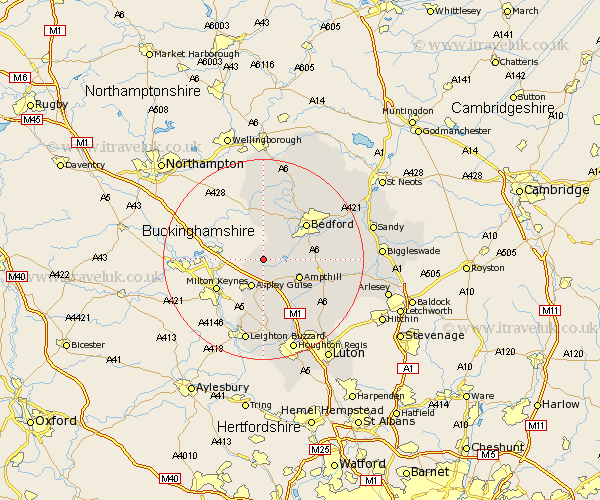
Bedfordshire Map Showing Location of Cranfield
Population: 4405
Area Size (ha): 313
District: Mid Bedfordshire
Easting: 495956 Northing: 241896
Latitude: 52.07 Longitude: -0.6
 = Cranfield
Area Size (ha): 313
District: Mid Bedfordshire
Easting: 495956 Northing: 241896
Latitude: 52.07 Longitude: -0.6
= Cranfield
This Cranfield map below is supplied by Google. Use the tools in the top left corner to zoom into street level or zoom out for a road map, you may also need to zoom in to see Cranfield on the map. Click and drag the map to move around. If the map fails to load try and refresh your browser or zoom in or out (+ or -).
Update - it seems Google no longer allow people to use their maps for free! This Cranfield map sometimes loads and sometimes gives a error. I am working on a solution.
Closest 30 Towns or Cities to Cranfield (Population over 500)
Marston Moretaine 3.89km Lidlington 5.05km Wootton 5.99km Aspley Guise 6.01km Ampthill 7.78km Kempston 8.79km Houghton Conquest 9.3km Woburn 9.34km Elstow 9.83km Biddenham 10.07km Bromham 10.87km Flitwick 10.9km Bedford 11.05km Turvey 11.35km Wilshamstead 11.39km Willshamstead 11.39km Wilhamstead 11.39km Wilstead 11.39km Stevington 11.63km Maulden 11.67km Clapham 12.22km Oakley 12.49km Flitton 12.66km Haynes 12.67km Carlton 12.97km Harrold 12.97km Pavenham 13.41km Westoning 13.69km Clophill 13.72km Pulloxhill 13.83km