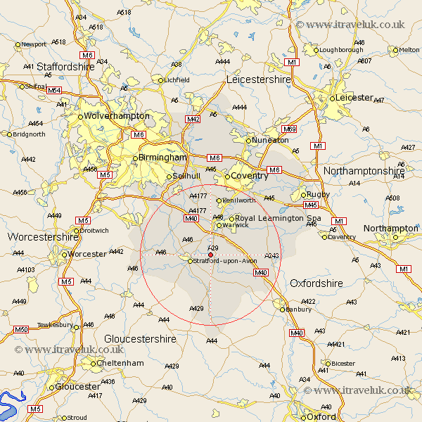
Warwickshire Map Showing Location of Hampton Lucy
Population: 477
District: Stratford-on-Avon
Easting: 426195 Northing: 255865
Latitude: 52.2 Longitude: -1.62
 = Hampton Lucy
District: Stratford-on-Avon
Easting: 426195 Northing: 255865
Latitude: 52.2 Longitude: -1.62
= Hampton Lucy
This Hampton Lucy map below is supplied by Google. Use the tools in the top left corner to zoom into street level or zoom out for a road map, you may also need to zoom in to see Hampton Lucy on the map. Click and drag the map to move around. If the map fails to load try and refresh your browser or zoom in or out (+ or -).
Update - it seems Google no longer allow people to use their maps for free! This Hampton Lucy map sometimes loads and sometimes gives a error. I am working on a solution.
Closest 30 Towns or Cities to Hampton Lucy (Population over 500)
Wellesbourne 2.93km Wellesbourne Hastings 2.93km Barford 3.87km Stratford upon Avon 5.98km Stratford 5.98km Stratford-on-Avon 5.98km Stratford-upon-Avon 5.98km Stratford on Avon 5.98km Bishops Tachbrook 6.78km Eatington 7.5km Ettington 7.5km Lighthorne 8.17km Snitterfield 8.77km Bearley 8.77km Whitnash 8.79km Claverdon 9.34km Warwick 9.54km Kineton 9.71km Hatton 11.35km Shrewley 11.63km Wootton Wawen 11.63km Harbury 11.94km Quinton 12.21km Royal Leamington Spa 12.48km Leamington 12.48km Leamington Spa 12.48km Bishops Itchington 12.5km Aston Cantlow 13.03km Ilmington 13.75km Great Alne 13.75km