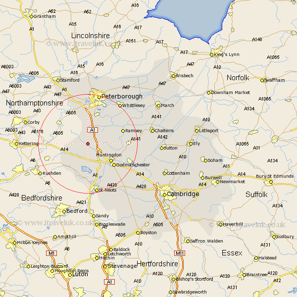
Cambridgeshire Map Showing Location of Hamerton
Population: 105
District: Huntingdonshire
Easting: 514513 Northing: 279373
Latitude: 52.4 Longitude: -0.32
 = Hamerton
District: Huntingdonshire
Easting: 514513 Northing: 279373
Latitude: 52.4 Longitude: -0.32
= Hamerton
This Hamerton map below is supplied by Google. Use the tools in the top left corner to zoom into street level or zoom out for a road map, you may also need to zoom in to see Hamerton on the map. Click and drag the map to move around. If the map fails to load try and refresh your browser or zoom in or out (+ or -).
Update - it seems Google no longer allow people to use their maps for free! This Hamerton map sometimes loads and sometimes gives a error. I am working on a solution.
Closest 30 Towns or Cities to Hamerton (Population over 500)
Sawtry 5.02km Alconbury 5.02km Spaldwick 7.5km Holme 9.32km Folksworth 9.33km Stilton 9.53km Ellington 9.54km Brampton Grange 10.85km Brampton 10.85km Graffham 11.35km Grafham 11.35km Huntingdon 11.7km Yaxley 12km Kimbolton 12.01km Buckden 13.74km Godmanchester 13.77km Durolipons 13.77km Ramsey 14.66km Wistow 14.7km Bury 14.81km Great Staughton 14.87km Offord Cluny 15.21km Offord 15.21km Wyton 15.47km Elton 15.49km Farcet 15.86km Hemingford 16.44km Hemingford Grey 16.44km Orton Waterville 16.72km Warboys 16.96km