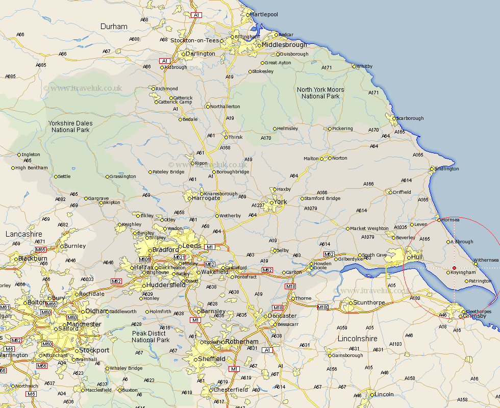
Yorkshire Map Showing Location of Halsham
Population: 260
Easting: 526468 Northing: 426206
Latitude: 53.72 Longitude: -0.08
 = Halsham
Easting: 526468 Northing: 426206
Latitude: 53.72 Longitude: -0.08
= Halsham
This Halsham map below is supplied by Google. Use the tools in the top left corner to zoom into street level or zoom out for a road map, you may also need to zoom in to see Halsham on the map. Click and drag the map to move around. If the map fails to load try and refresh your browser or zoom in or out (+ or -).
Update - it seems Google no longer allow people to use their maps for free! This Halsham map sometimes loads and sometimes gives a error. I am working on a solution.
Closest 30 Towns or Cities to Halsham (Population over 500)
Ottringham 1.86km Keyingham 2.87km Burstwick 3.77km Roos 4.3km Thorngumbald 5.48km Thorngumbold 5.48km Burton Pidsea 5.67km Hedon 6.83km Patrington 7.08km Withernsea 7.89km Preston 9.47km Paull 9.87km Sproatley 9.9km Aldbrough 11.33km Walkington 11.33km Easington 14.29km Skirlaugh Station 15.61km Kingston upon Hull 16.45km Hull 17.03km Sutton 17.04km Sutton-on-Hull 17.04km Sutton on Hull 17.04km Wawne 19.83km Cottingham 21.07km Hornsea 21.1km Woodmansey 22.63km Hessle 23.03km Anlaby 23.1km Barton upon Humber 23.34km Barton 23.34km