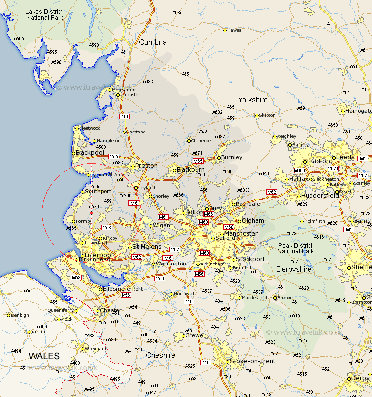
Lancashire Map Showing Location of Halsall
Population: 1873
District: West Lancashire
Easting: 337114 Northing: 410080
Latitude: 53.58 Longitude: -2.95
 = Halsall
District: West Lancashire
Easting: 337114 Northing: 410080
Latitude: 53.58 Longitude: -2.95
= Halsall
This Halsall map below is supplied by Google. Use the tools in the top left corner to zoom into street level or zoom out for a road map, you may also need to zoom in to see Halsall on the map. Click and drag the map to move around. If the map fails to load try and refresh your browser or zoom in or out (+ or -).
Update - it seems Google no longer allow people to use their maps for free! This Halsall map sometimes loads and sometimes gives a error. I am working on a solution.
Closest 30 Towns or Cities to Halsall (Population over 500)
Scarisbrick 2.16km Ormskirk 3.78km Aughton 5.98km Maghull 7.41km Lydiate 7.49km Formby 7.57km Burscough 7.7km Rufford 8.55km Ince Blundell 8.62km Lathom 8.99km Sefton 9.33km Thornton 9.83km Southport 9.84km Hightown 9.92km Bickerstaffe 10.69km Banks 11.33km Melling 11.34km Skelmersdale 11.36km Kirkby 11.6km Tarleton 12.05km Parbold 12.1km Rainford 12.37km Mawdesley 12.65km Crosby 12.96km Aintree 13.01km Litherland 13.38km Bretherton 13.56km Bootle 13.69km Croston 14.19km Appley Bridge 15.52km