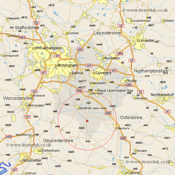
Warwickshire Map Showing Location of Halford
Population: 314
District: Stratford-on-Avon
Easting: 426254 Northing: 244744
Latitude: 52.1 Longitude: -1.62
 = Halford
District: Stratford-on-Avon
Easting: 426254 Northing: 244744
Latitude: 52.1 Longitude: -1.62
= Halford
This Halford map below is supplied by Google. Use the tools in the top left corner to zoom into street level or zoom out for a road map, you may also need to zoom in to see Halford on the map. Click and drag the map to move around. If the map fails to load try and refresh your browser or zoom in or out (+ or -).
Update - it seems Google no longer allow people to use their maps for free! This Halford map sometimes loads and sometimes gives a error. I am working on a solution.
Closest 30 Towns or Cities to Halford (Population over 500)
Ettington 3.87km Eatington 3.87km Ilmington 4.92km Shipston-on-Stour 5.56km Shipston on Stour 5.56km Quinton 8.18km Church Tysoe 8.18km Middle Tysoe 8.18km Tysoe 8.18km Brailes 9.35km Lower Brailes 9.35km Wellesbourne Hastings 9.54km Wellesbourne 9.54km Kineton 9.71km Stratford-on-Avon 10.87km Stratford-upon-Avon 10.87km Stratford 10.87km Stratford upon Avon 10.87km Stratford on Avon 10.87km Lighthorne 12.21km Long Compton 13.18km Barford 14.87km Bishops Tachbrook 15.87km Bishops Itchington 16.74km Snitterfield 16.82km Bearley 16.82km Fenny Compton 16.87km Whitnash 18.02km Harbury 18.68km Great Alne 18.83km