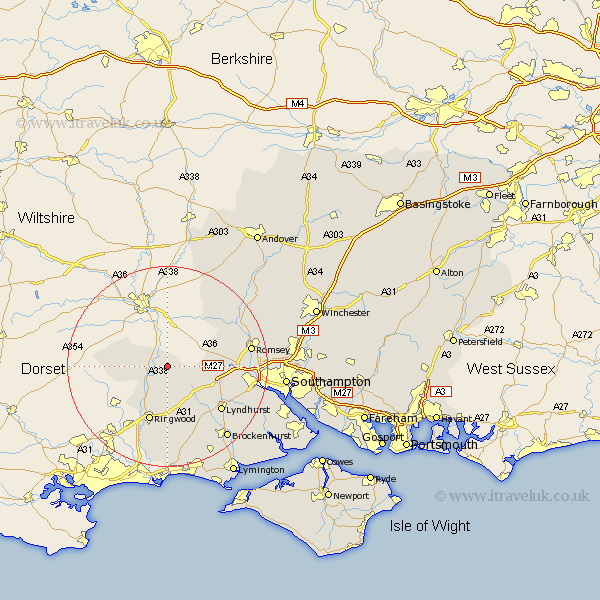
Hampshire Map Showing Location of Hale
Population: 578
District: New Forest
Easting: 418730 Northing: 116824
Latitude: 50.95 Longitude: -1.73
 = Hale
District: New Forest
Easting: 418730 Northing: 116824
Latitude: 50.95 Longitude: -1.73
= Hale
This Hale map below is supplied by Google. Use the tools in the top left corner to zoom into street level or zoom out for a road map, you may also need to zoom in to see Hale on the map. Click and drag the map to move around. If the map fails to load try and refresh your browser or zoom in or out (+ or -).
Update - it seems Google no longer allow people to use their maps for free! This Hale map sometimes loads and sometimes gives a error. I am working on a solution.
Closest 30 Towns or Cities to Hale (Population over 500)
Hale 0km Fordingbridge 5.03km Ibsley 8.2km Bramshaw 8.38km South Damerham 8.38km Damerham 8.38km Sandleheath 9.44km West Wellow 10.67km Sherfield English 11.14km Cadnam 11.15km Ringwood 11.66km Minstead 11.93km Lyndhurst 14.01km Burley 15.01km Romsey 16.75km Totton 17.91km Eling 18.38km Bransgore 18.54km Michelmersh 18.77km Michlemersh 18.77km Brockenhurst 18.88km Broughton 19.6km Sopley 20.68km Sway 20.76km Kings Somborne 21.78km Nether Wallop 21.89km Chilworth 22.18km Marchwood 22.3km Over Wallop 22.41km Dibden 22.98km