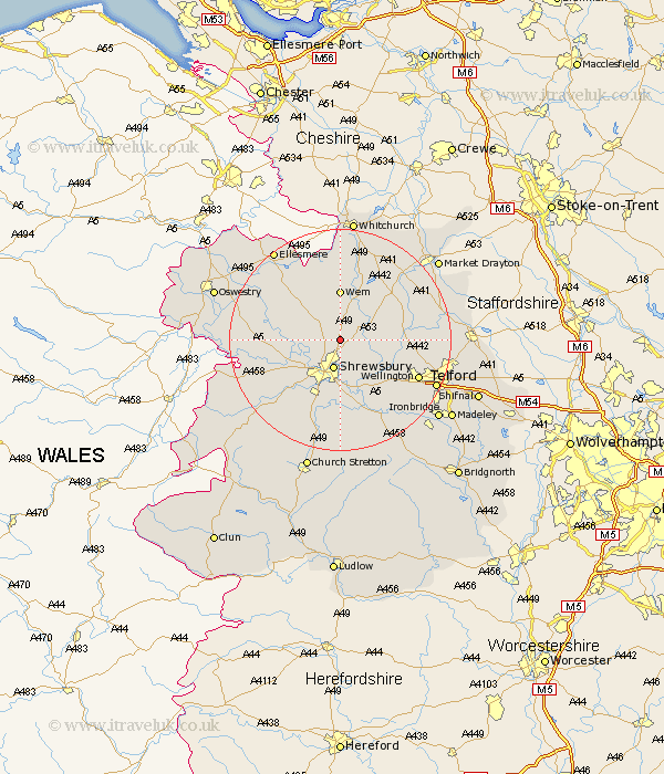
Shropshire Map Showing Location of Hadnall
Population: 685
District: North Shropshire
Easting: 351650 Northing: 319067
Latitude: 52.77 Longitude: -2.72
 = Hadnall
District: North Shropshire
Easting: 351650 Northing: 319067
Latitude: 52.77 Longitude: -2.72
= Hadnall
This Hadnall map below is supplied by Google. Use the tools in the top left corner to zoom into street level or zoom out for a road map, you may also need to zoom in to see Hadnall on the map. Click and drag the map to move around. If the map fails to load try and refresh your browser or zoom in or out (+ or -).
Update - it seems Google no longer allow people to use their maps for free! This Hadnall map sometimes loads and sometimes gives a error. I am working on a solution.
Closest 30 Towns or Cities to Hadnall (Population over 500)
Shawbury 4.85km Shrewsbury 5.67km Stanton upon Hine Heath 7.14km Stanton 7.14km Rodington 7.69km Bicton 7.69km Ercall Magna 8.07km High Ercall 8.07km Wem 9.26km Baschurch 10.26km Ford 10.56km Baystonhill 11.34km Hanwood 11.46km Great Hanwood 11.46km Loppington 11.99km Great Ness 12.33km Wrockwardine 12.53km Hodnet 12.89km Cockshutt 12.89km Cockshut 12.89km Berrington 13.02km Condover 13.17km Prees 13.39km Precs 13.39km Cherrington 14.58km Whixall 14.82km Wellington 15.37km Stoke upon Tern 15.42km Stoke 15.42km Cressage 16.29km