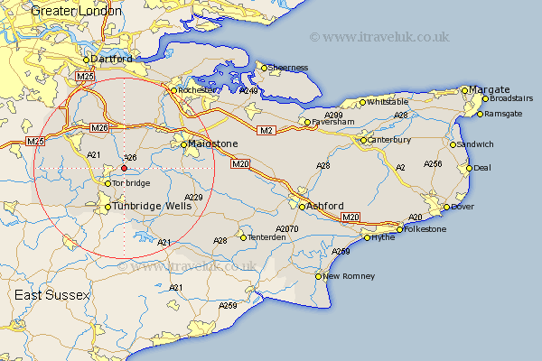
Kent Map Showing Location of Hadlow
Population: 3152
Area Size (ha): 62
District: Tonbridge and Malling
Easting: 562939 Northing: 149033
Latitude: 51.22 Longitude: 0.33
 = Hadlow
Area Size (ha): 62
District: Tonbridge and Malling
Easting: 562939 Northing: 149033
Latitude: 51.22 Longitude: 0.33
= Hadlow
This Hadlow map below is supplied by Google. Use the tools in the top left corner to zoom into street level or zoom out for a road map, you may also need to zoom in to see Hadlow on the map. Click and drag the map to move around. If the map fails to load try and refresh your browser or zoom in or out (+ or -).
Update - it seems Google no longer allow people to use their maps for free! This Hadlow map sometimes loads and sometimes gives a error. I am working on a solution.
Closest 30 Towns or Cities to Hadlow (Population over 500)
East Peckham 3.95km Mereworth 4.37km Plaxtol 4.37km Tonbridge 5.09km Paddock Wood 6.56km Wateringbury 6.88km Yalding 6.97km Hildenborough 7.21km Borough Green 7.76km Offham 7.76km Addington 8.74km West Malling 8.74km East Malling 8.91km Leigh 8.94km Wrotham 9.33km Pembury 9.35km Ryarsh 9.89km Royal Tunbridge Wells 9.91km Turnbridge Wells 9.91km Tunbridge Wells 9.91km Barming 10km East Barming 10km Bidborough 10.18km Southborough 10.18km Brenchley 10.37km Weald 10.45km Hunton 10.61km Sevenoaks 10.82km Seal 10.99km Kemsing 11.58km