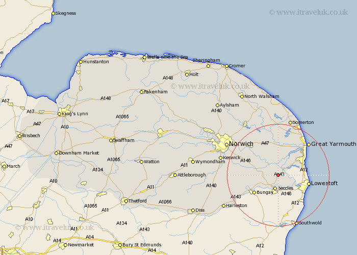
Norfolk Map Showing Location of Haddiscoe
Population: 481
District: South Norfolk
Easting: 643090 Northing: 297055
Latitude: 52.52 Longitude: 1.58
 = Haddiscoe
District: South Norfolk
Easting: 643090 Northing: 297055
Latitude: 52.52 Longitude: 1.58
= Haddiscoe
This Haddiscoe map below is supplied by Google. Use the tools in the top left corner to zoom into street level or zoom out for a road map, you may also need to zoom in to see Haddiscoe on the map. Click and drag the map to move around. If the map fails to load try and refresh your browser or zoom in or out (+ or -).
Update - it seems Google no longer allow people to use their maps for free! This Haddiscoe map sometimes loads and sometimes gives a error. I am working on a solution.
Closest 30 Towns or Cities to Haddiscoe (Population over 500)
Thurlton 2.16km Fritton 3.85km Reedham 3.87km Chedgrave 5.93km Cantley 7.16km Freethorpe 7.74km Loddon 7.89km Belton 8.76km Ellingham 8.76km Hopton 10.31km Hopton-on-Sea 10.31km Hopton on Sea 10.31km Thurton 10.8km Ditchingham 11.58km Lingwood 13.01km Acle 13.16km Earsham 13.5km Brooke 14.03km Blofield 14.31km Upton 14.99km Brundall 15.05km South Walsham 15.2km Filby 15.86km Poringland 16.21km Great Yarmouth 17.17km Yarmouth 17.17km Great Ormesby 18.45km Ormesby St. Margaret 18.45km Ormesby Saint Margaret 18.45km Ormesby St Margaret 18.45km