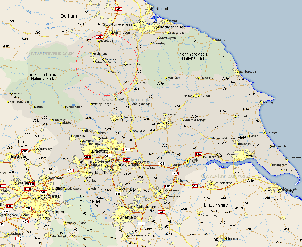
Yorkshire Map Showing Location of Hackforth
Population: 151
District: Hambleton
Easting: 426007 Northing: 493172
Latitude: 54.33 Longitude: -1.6
 = Hackforth
District: Hambleton
Easting: 426007 Northing: 493172
Latitude: 54.33 Longitude: -1.6
= Hackforth
This Hackforth map below is supplied by Google. Use the tools in the top left corner to zoom into street level or zoom out for a road map, you may also need to zoom in to see Hackforth on the map. Click and drag the map to move around. If the map fails to load try and refresh your browser or zoom in or out (+ or -).
Update - it seems Google no longer allow people to use their maps for free! This Hackforth map sometimes loads and sometimes gives a error. I am working on a solution.
Closest 30 Towns or Cities to Hackforth (Population over 500)
Crakehall 3.86km Catterick 4.29km Scorton 5.56km Bedale 5.66km North Cowton 8.09km Cowton 10.23km East Cowton 10.23km Northallerton 10.81km Richmond 11.38km Brompton 12.03km Masham 13.37km Middleton Tyas 13.37km Gilling 13.44km Leyburn 14.53km West Tanfield 14.98km Tanfield 14.98km Middleham 15.12km Barton 15.18km Grewelthorpe 16.99km Melsonby 17.53km Kirkby Malzeard 18.81km Osmotherley 19.79km Thirsk 21.63km Topcliffe 21.82km Dishforth 23.61km Whorlton 24.49km Ripon 24.69km Middleton 26.18km Middleton upon Leven 26.18km Bradley 27.11km