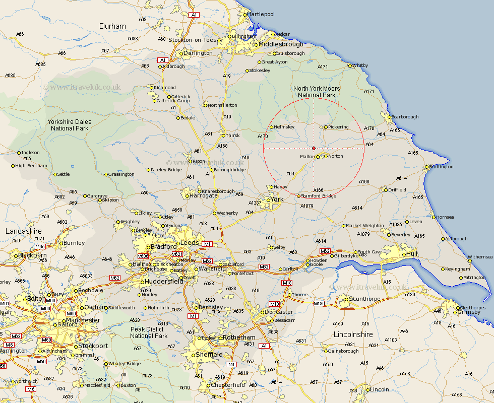
Yorkshire Map Showing Location of Habton
Population: 317
District: Ryedale
Easting: 476159 Northing: 475192
Latitude: 54.17 Longitude: -0.83
 = Habton
District: Ryedale
Easting: 476159 Northing: 475192
Latitude: 54.17 Longitude: -0.83
= Habton
This Habton map below is supplied by Google. Use the tools in the top left corner to zoom into street level or zoom out for a road map, you may also need to zoom in to see Habton on the map. Click and drag the map to move around. If the map fails to load try and refresh your browser or zoom in or out (+ or -).
Update - it seems Google no longer allow people to use their maps for free! This Habton map sometimes loads and sometimes gives a error. I am working on a solution.
Closest 30 Towns or Cities to Habton (Population over 500)
Malton 4.01km Norton 5.48km Slingsby 5.73km Rillington 8.88km Pickering 10.23km Terrington 10.31km Thornton Dale 10.6km Thornton-le-Dale 10.6km Nawton 12.25km Kirkby Moorside 12.88km Kirby Moorside 12.88km Sheriff Hutton 14.28km Yedingham 14.58km Snainton 17.19km Helmsley 17.78km Strensall 18.4km Ampleforth 18.81km Brompton 19.25km Stillington 19.89km Sherburn 20.61km Stamford Bridge 21.11km Huby 21.64km Fangfoss 22.24km Haxby 22.58km Wigginton 22.58km Huntington 23.31km Earswick 23.31km Wilberfoss 24.32km Easingwold 24.52km Willerby 25.02km