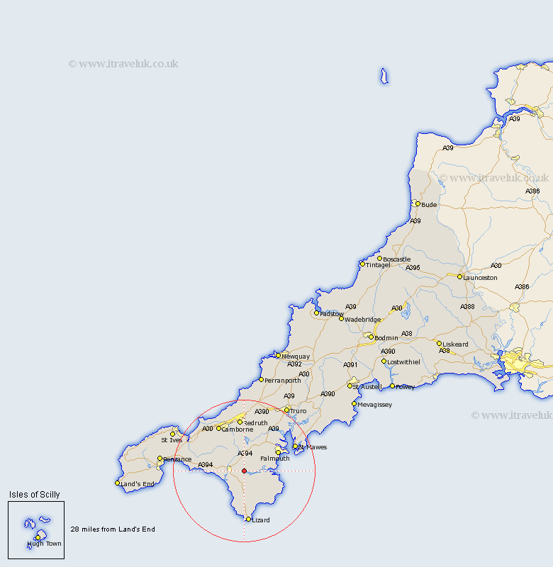
Cornwall Map Showing Location of Gweek
Population: 581
District: Kerrier
Easting: 169992 Northing: 27238
Latitude: 50.1 Longitude: -5.22
 = Gweek
District: Kerrier
Easting: 169992 Northing: 27238
Latitude: 50.1 Longitude: -5.22
= Gweek
This Gweek map below is supplied by Google. Use the tools in the top left corner to zoom into street level or zoom out for a road map, you may also need to zoom in to see Gweek on the map. Click and drag the map to move around. If the map fails to load try and refresh your browser or zoom in or out (+ or -).
Update - it seems Google no longer allow people to use their maps for free! This Gweek map sometimes loads and sometimes gives a error. I am working on a solution.
Closest 30 Towns or Cities to Gweek (Population over 500)
Gweek 0km Constatine 4.02km Constantine 4.02km Wendron 4.4km Helstone 4.76km Helston 4.76km Porthleven 7.37km Crowan 8.14km Breage 8.32km Mawnan 8.32km Budock Water 9.04km Budock 9.04km Stithians 9.56km Mullion 9.56km Falmouth 11.01km Penryn 11.14km Germol 12.03km Germoe 12.03km Troon 13.18km Gwennap 13.46km Mylor Bridge 14km Mylor 14km Gwinear 14.14km St Hilary 14.38km St. Hilary 14.38km Saint Hilary 14.38km Camborne 14.8km Redruth 14.87km Landewednack 14.87km St. Day 15.01km